WASHINGTON Mount St. Helens - five years later
About the article
This is a digitised version of an article from The Cayman Compass's print archive. Occasionally, the digitisation process introduces transcription errors, or other problems.
See the article in its original context from March 1986.
Brought to you by
The snowcaped remnant of the once majestic-looking mountain became clearer as we headed north on Interstate 5 from Vancouver, Wash., and I was surprised at how much of it was missing.
It has been just over five years since the catastrophic eruption that blew off the upper 1,312 feet of the 9,677-foot-high cone with a force comparable to a large nuclear blast. Recently, the mountain has been rumbling again and scientists venturing inside the crater of the jittery volcano report that the growth of its lava dome is such that it could produce another eruption soon.
A faint column of smoke or steam was rising from the north face of the sawed-off mountain when I was near and I wondered if this would be the day.
Since it sprang to life with such devastating results, Mount St. Helens has become one of the most popular tourist attractions in the Northwest and now is drawing about 1 million visitors annually.
They come for a glimpse of the volcano and more than a few have had notions of climbing to the top of the crater.
The mountain also is very special to local residents, says Brenda Finney of the Vancouver Chamber of Commerce: "It keeps growing, it belches steam or ash once in awhile .... you never know what it's going to do; it's fascinating."
It was that same fascination that drew me to the mountain.
After looking at the volcano from 20 miles away from a couple roadside vantage points, I found myself staring directly into the horseshoe-shaped crater from a small sightseeing airplane.
"The winds are blowing a little," commented pilot Dale Bowers as he guided the single-engine Cessna 172 toward the mountain.
We had taken off from a small airport alongside Interstate 5 at Chehalis, Wash., about 40 miles from the volcano as the crow flies.
There was not a cloud to be seen and the clear water of the Cowlitz River sparkled in the sunlight below. Snowcapped Mount Rainier rose to the northeast. Mount Adams is almost due east of Mount St. Helens. Farther south, in Oregon, Mount Hood and Mount Jefferson were wearing mantles of snow.
As we neared Mount St. Helens, the gray water of the Toutle River, still carrying pumice and ash, came into view. Soon we were over the volcano itself.
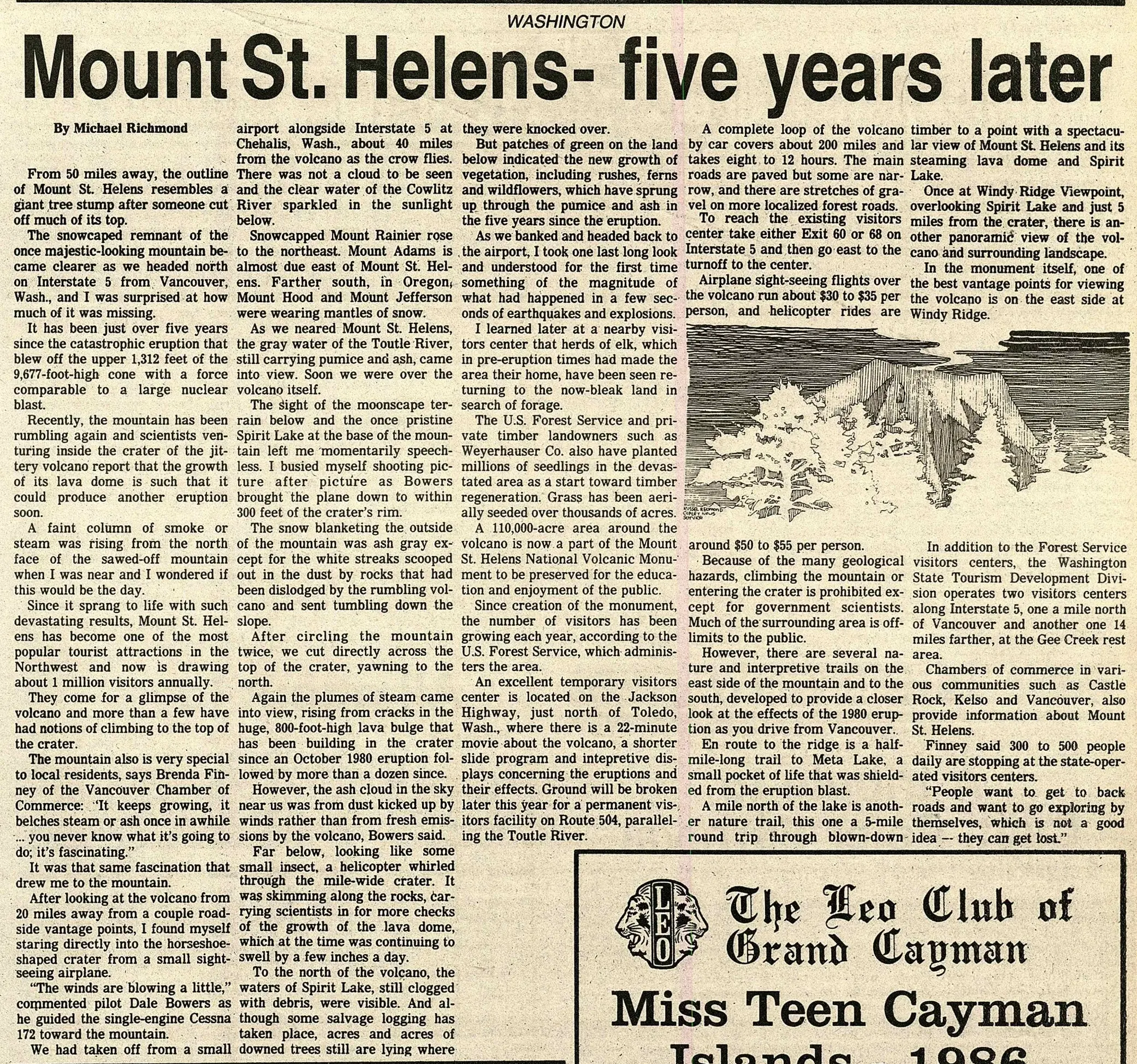
The sight of the moonscape terrain below and the once pristine Spirit Lake at the base of the mountain left me momentarily speechless. I busied myself shooting picture after picture as Bowers brought the plane down to within 300 feet of the crater's rim.
The snow blanketing the outside of the mountain was ash gray except for the white streaks scooped out in the dust by rocks that had been dislodged by the rumbling volcano and sent tumbling down the slope.
After circling the mountain twice, we cut directly across the top of the crater, yawning to the north. Again the plumes of steam came into view, rising from cracks in the huge, 800-foot-high lava bulge that has been building in the crater since an October 1980 eruption followed by more than a dozen since.
However, the ash cloud in the sky near us was from dust kicked up by winds rather than from fresh emissions by the volcano, Bowers said.
Far below, looking like some small insect, a helicopter whirled through the mile-wide crater. It was skimming along the rocks, carrying scientists in for more checks of the growth of the lava dome, which at the time was continuing to swell by a few inches a day.
To the north of the volcano, the waters of Spirit Lake, still clogged with debris, were visible. And although some salvage logging has taken place, acres and acres of downed trees still are lying where. But patches of green on the land below indicated the new growth of vegetation, including rushes, ferns and wildflowers, which have sprung up through the pumice and ash in the five years since the eruption.
As we banked and headed back to the airport, I took one last long look and understood for the first time something of the magnitude of what had happened in a few seconds of earthquakes and explosions.
I learned later at a nearby visitors center that herds of elk, which in pre-eruption times had made the area their home, have been seen returning to the now-bleak land in search of forage.
The U.S. Forest Service and private timber landowners such as Weyerhauser Co. also have planted millions of seedlings in the devastated area as a start toward timber regeneration. Grass has been aerially seeded over thousands of acres.
A 110,000-acre area around the volcano is now a part of the Mount St. Helens National Volcanic Monument to be preserved for the education and enjoyment of the public.
Since creation of the monument, the number of visitors has been growing each year, according to the U.S. Forest Service, which administers the area.
An excellent temporary visitors center is located on the Jackson Highway, just north of Toledo, Wash., where there is a 22-minute movie about the volcano, a shorter slide program and intepretive displays concerning the eruptions and their effects. Ground will be broken later this year for a permanent visitors facility on Route 504, paralleling the Toutle River. A complete loop of the volcano by car covers about 200 miles and takes eight to 12 hours. The main roads are paved but some are narrow, and there are stretches of gravel on more localized forest roads.
To reach the existing visitors center take either Exit 60 or 68 on Interstate 5 and then go east to the turnoff to the center.
Airplane sight-seeing flights over the volcano run about $30 to $35 per person, and helicopter rides are timber to a point with a spectacular view of Mount St. Helens and its steaming lava dome and Spirit Lake.
Once at Windy Ridge Viewpoint, overlooking Spirit Lake and just 5 miles from the crater, there is another panoramic view of the volcano and surrounding landscape.
In the monument itself, one of the best vantage points for viewing the volcano is on the east side at Windy Ridge. around $50 to $55 per person.
Because of the many geological hazards, climbing the mountain or entering the crater is prohibited except for government scientists. Much of the surrounding area is off-limits to the public.
However, there are several nature and interpretive trails on the east side of the mountain and to the south, developed to provide a closer look at the effects of the 1980 eruption as you drive from Vancouver.
En route to the ridge is a half-mile-long trail to Meta Lake, a small pocket of life that was shielded from the eruption blast. A mile north of the lake is another nature trail, this one a 5-mile round trip through blown-down. In addition to the Forest Service visitors centers, the Washington State Tourism Development Division operates two visitors centers along Interstate 5, one a mile north of Vancouver and another one 14 miles farther, at the Gee Creek rest area. Chambers of commerce in various communities such as Castle Rock, Kelso and Vancouver, also provide information about Mount St. Helens.
Finney said 300 to 500 people daily are stopping at the state-operated visitors centers.
"People want to get to back roads and want to go exploring by themselves, which is not a good idea -- they can get lost."