Hurricane Emily veers offshore after battering North Carolina coast
About the article
This is a digitised version of an article from The Cayman Compass's print archive. Occasionally, the digitisation process introduces transcription errors, or other problems.
See the article in its original context from September 1993.
Brought to you by
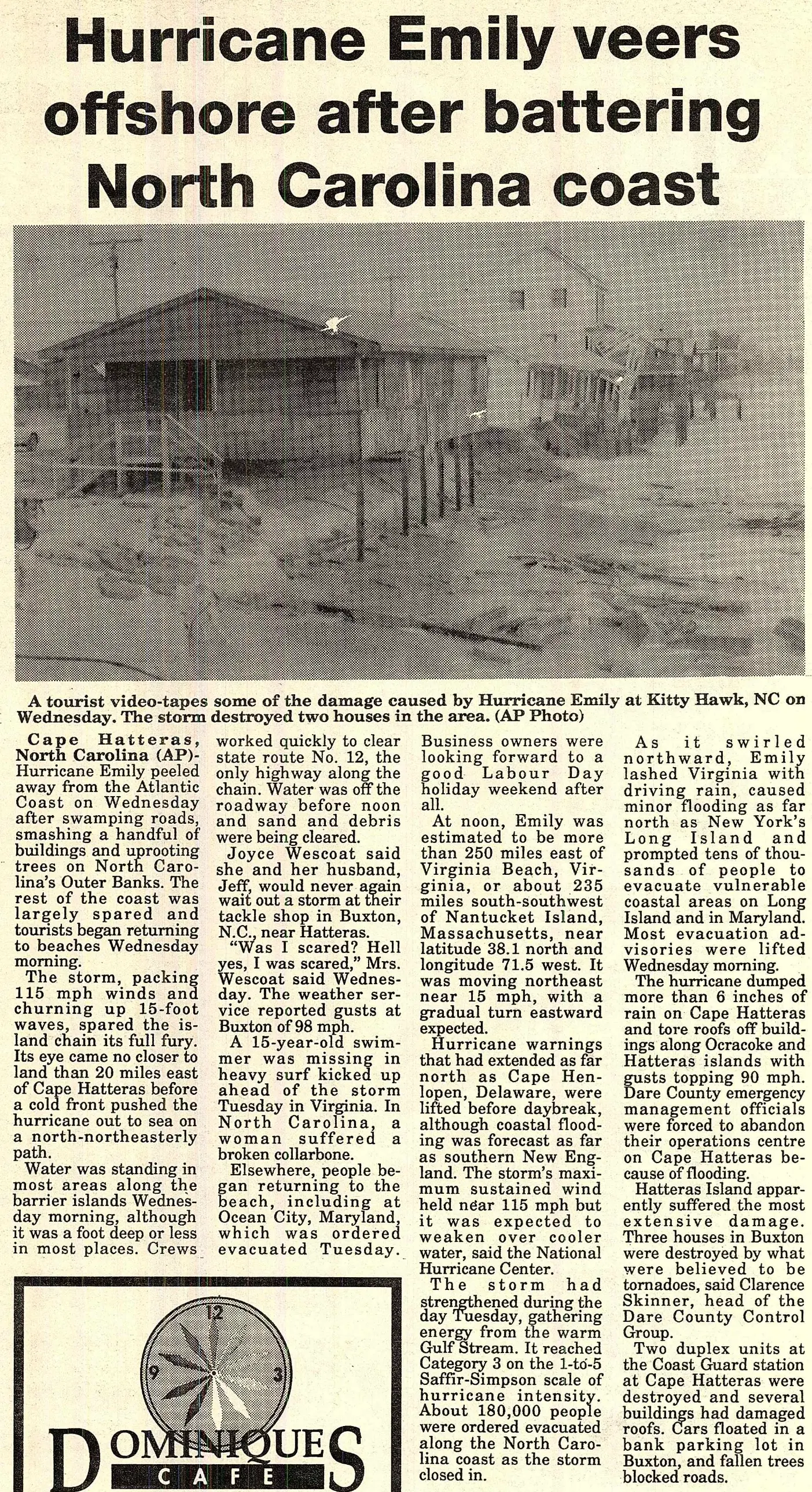
The storm, packing 115 mph winds and churning up 15-foot waves, spared the island chain its full fury. Its eye came no closer to land than 20 miles east of Cape Hatteras before a cold front pushed the hurricane out to sea on a north-northeasterly path.
Water was standing in most areas along the barrier islands Wednesday morning, although it was a foot deep or less in most places. Crews worked quickly to clear state route No. 12, the only highway along the chain. Water was off the roadway before noon and sand and debris were being cleared.
Joyce Wescoat said she and her husband, Jeff, would never again wait out a storm at their tackle shop in Buxton, N.C., near Hatteras. "Was I scared? Hell yes, I was scared," Mrs. Wescoat said Wednesday. The weather service reported gusts at Buxton of 98 mph.
A 15-year-old swimmer was missing in heavy surf kicked up ahead of the storm Tuesday in Virginia. In North Carolina, a woman suffered a broken collarbone.
Elsewhere, people began returning to the beach, including at Ocean City, Maryland, which was ordered evacuated Tuesday. Business owners were looking forward to a good Labour Day holiday weekend after all.
At noon, Emily was estimated to be more than 250 miles east of Virginia Beach, Virginia, or about 235 miles south-southwest of Nantucket Island, Massachusetts, near latitude 38.1 north and longitude 71.5 west. It was moving northeast near 15 mph, with a gradual turn eastward expected.
Hurricane warnings that had extended as far north as Cape Henlopen, Delaware, were lifted before daybreak, although coastal flooding was forecast as far as southern New England. The storm's maximum sustained wind held near 115 mph but it was expected to weaken over cooler water, said the National Hurricane Center.
The storm had strengthened during the day Tuesday, gathering energy from the warm Gulf Stream. It reached Category 3 on the 1-to-5 Saffir-Simpson scale of hurricane intensity. About 180,000 people were ordered evacuated along the North Carolina coast as the storm closed in. As it swirled northward, Emily lashed Virginia with driving rain, caused minor flooding as far north as New York's Long Island and prompted tens of thousands of people to evacuate vulnerable coastal areas on Long Island and in Maryland. Most evacuation advisories were lifted Wednesday morning.
The hurricane dumped more than 6 inches of rain on Cape Hatteras and tore roofs off buildings along Ocracoke and Hatteras islands with gusts topping 90 mph. Dare County emergency management officials were forced to abandon their operations centre on Cape Hatteras because of flooding.
Hatteras Island apparently suffered the most extensive damage. Three houses in Buxton were destroyed by what were believed to be tornadoes, said Clarence Skinner, head of the Dare County Control Group.
Two duplex units at the Coast Guard station at Cape Hatteras were destroyed and several buildings had damaged roofs. Cars floated in a bank parking lot in Buxton, and fallen trees blocked roads.