
A comprehensive marine survey of Cayman Islands’ waters began Tuesday, initiating a six-month process that should inform policy making, scientific research, conservation efforts and disaster planning.
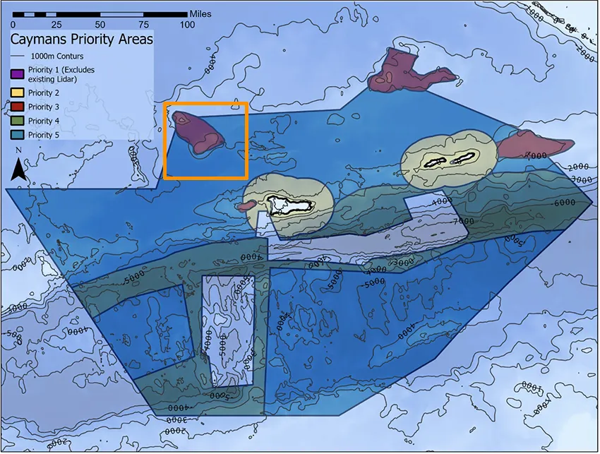
The Cayman Islands government is working with US-based ocean-mapping company Saildrone, with funding from Cayman-based London & Amsterdam Trust Company Limited, to survey 29,300 square nautical miles and produce a high-resolution map of Cayman’s seafloor.
Saildrone called the project a “first-of-its-kind mission” and “a major milestone in ocean mapping”. The company will utilise an uncrewed surface vehicle to assess about 80% of Cayman’s exclusive economic zone, referring to the area of sea to which Cayman has exclusive economic rights.
The surveyed area will include coastal waters extending from 25 metres to 12 nautical miles offshore, including 12-Mile Bank, 60-Mile Bank, Pickle Bank, Lawfords Banks and Cayman Trough.
Saildrone said the mapping data it produces will be a prerequisite for exploring, exploiting or conserving Cayman’s natural resources found offshore.
“The mission will provide detailed and precise bathymetric data for the Cayman Islands, contributing to a comprehensive understanding of the seafloor topography in the region,” Saildrone wrote in a press release.
“The data collected will not only enhance maritime navigation and charting but also support scientific research, environmental conservation efforts, and marine resource management in the Cayman Islands.”
The completed bathymetric data, measuring the depth of coastal waters, will be shared with the UK Hydrographic Office and included on nautical charts, government said in a press release. The data will belong to the Cayman Islands government and inform entities including the Ministry of District Administration and Lands, the Ministry for Border Control, the Department of Lands and Survey, the Cayman Islands Coast Guard and the Port and Maritime Authorities of the Cayman Islands.
“Our waters hold such great value to us for a myriad of reasons ranging from recreational to economic,” said Premier Juliana O’Connor-Connolly in a press release.
“Conducting this assessment will allow our government to make data-driven decisions that will strengthen our policies and legislations as it relates to our maritime infrastructure.”
Saildrone’s 20-metre uncrewed surface vehicle, the Saildrone Surveyor SD-3001, uses “multibeam echo sounders and metocean sensors for ocean mapping and ecosystem monitoring, as well as radar, cameras, and advanced machine learning”, the company said.
The ocean mapping is expected to support storm-surge modelling and provide insight into disaster resilience. During the survey period, Saildrone said it will update boaters when it is operating near shore and in popular fishing areas.
Related Videos


Strange timing at the start of the major hurricane season. It may well end up mapping the waters around Bermuda!.
Will the charts made from this data be available to boaters’ GPS units? If yes, when can we expect it to be available?