
Grand Cayman become one of only two islands in the region with capacity to collect storm surge data which can be crucial to issuing early warnings when dangerous sea conditions are fuelled by tropical cyclones.
The second Caribbean island with such sensors is the Dominican Republic.
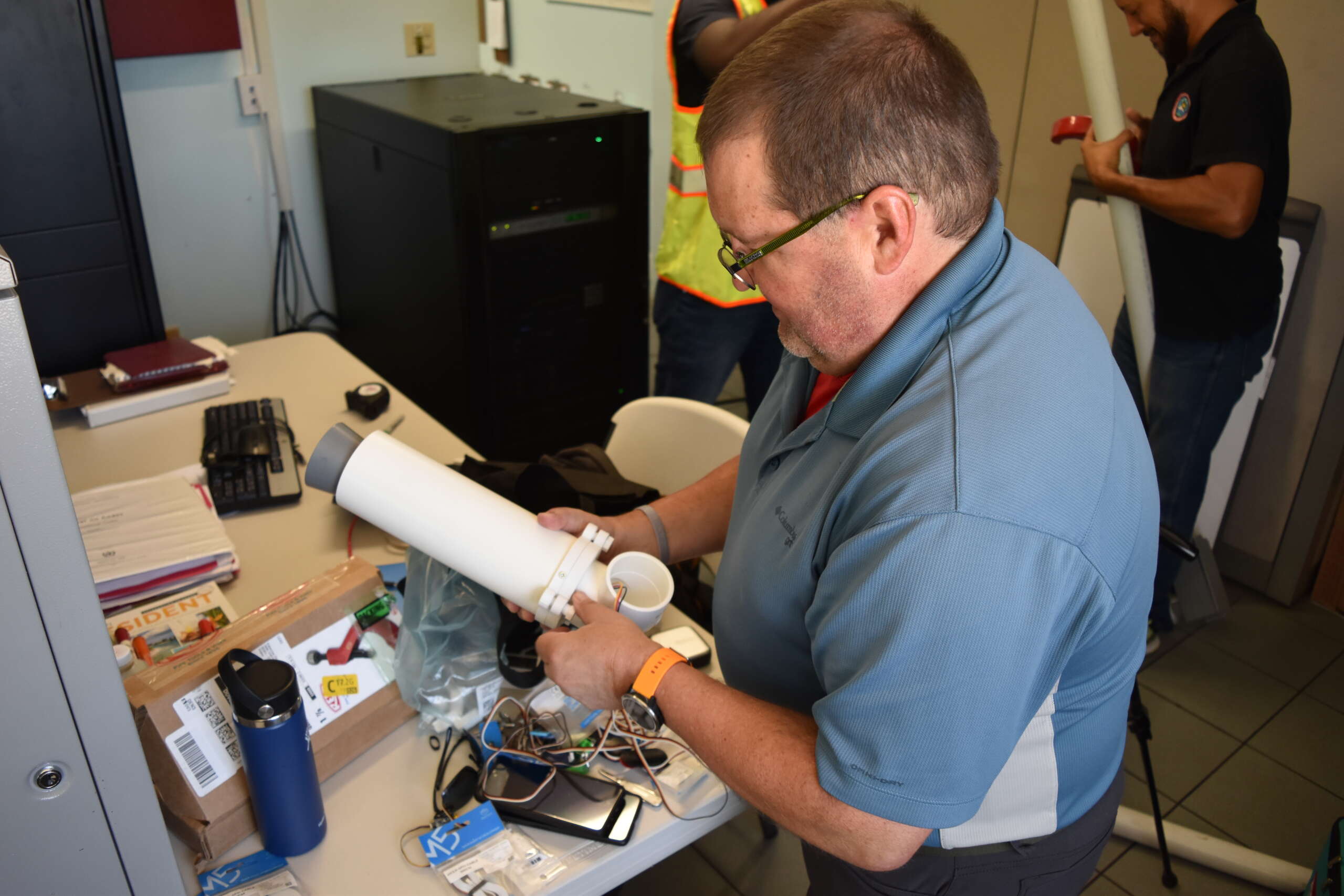
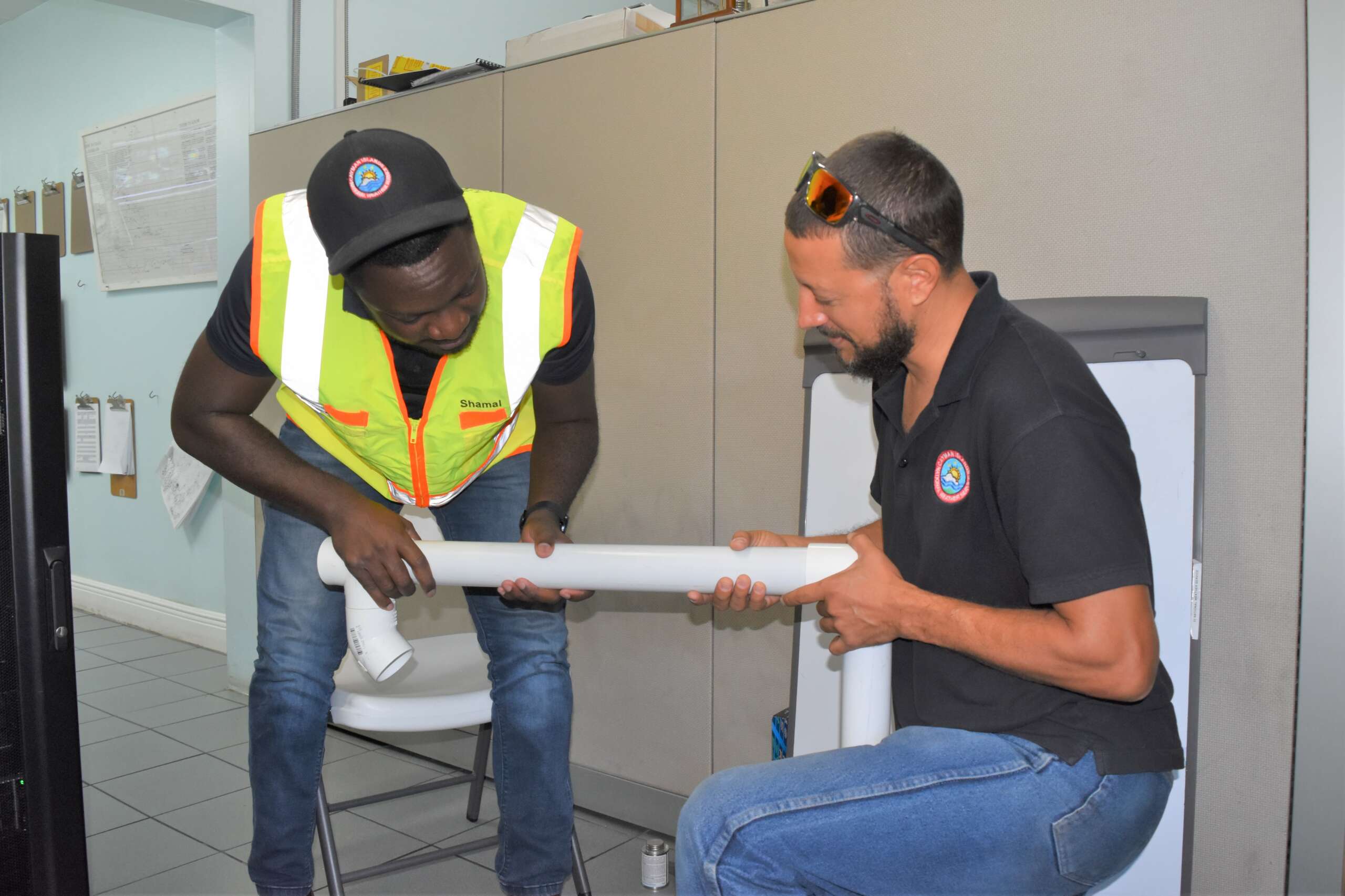
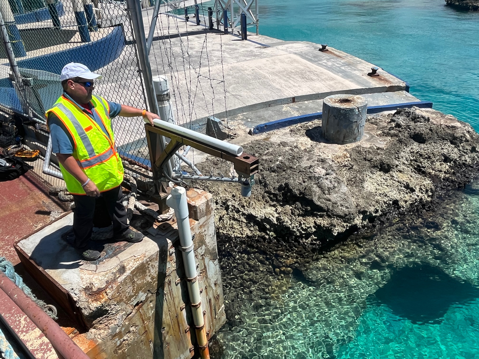
On Tuesday, Cayman’s first storm surge sensor was installed at the Port Authority dock in George Town by National Weather Service meteorologist Shamal Clarke and manager of NWS Technical Services Michael Carey, together with visiting researcher Paul A. Kucera, assistant director for International Capacity Development at the University Corporation for Atmospheric Research.
A second sensor will be installed at the Coast Guard base off Hirst Road later this week.
Data from both will be used to create Cayman-specific storm surge modelling.
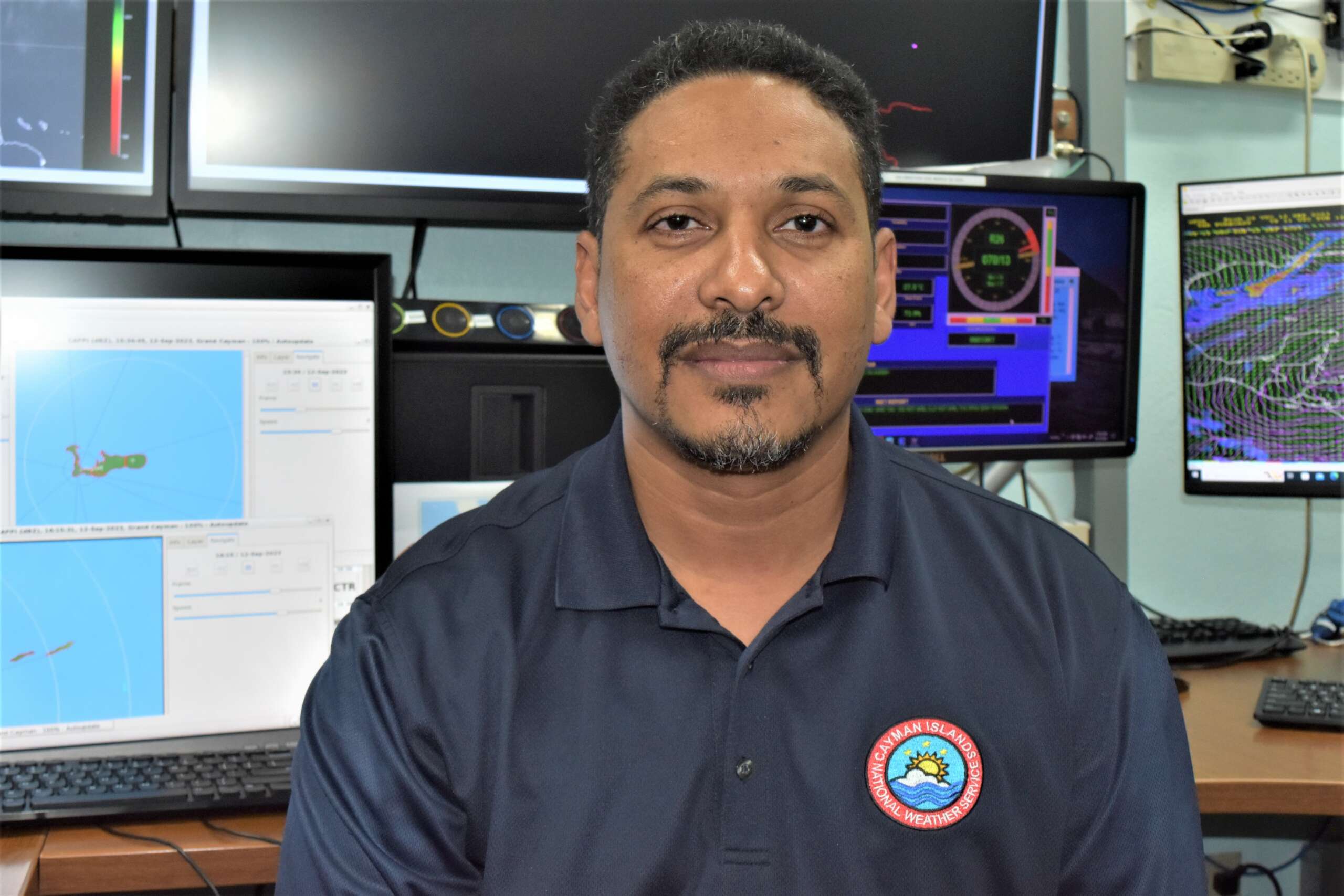
“In terms of preventing the risk and the damage … to people in those vulnerable areas, [these sensors] will help a lot. We could estimate the amount or total wave height that is anticipated and project that onto the land side [of the island] and see where we could create no-go zones or, more importantly, even set up evacuation zones,” Kerry Powery, chief meteorologist at the National Weather Service, said in an interview Tuesday with the Cayman Compass.
Important for preparedness
The installation of the sensors is part of the United States Agency for International Development’s Caribbean-wide programme which helps to advance early warnings of storm surges and strengthen preparedness.
Earlier this year, the Cayman Islands was bumped up to priority consideration for advanced storm surge modelling, which will help to predict levels of risk across the territory.
Kucera, who is also assisting in training local personnel on the sensor and its data collection, said the observations from the sensors will “hopefully improve storm surge prediction and early warning for here on the island”.
He said the University Corporation for Atmospheric Research has been working with the Miami-based US National Hurricane Center for the last 12 years.
Kucera explained that the storm surge modelling in Cayman is part of a pilot project that UCAR wants to expand throughout the Caribbean and provide the resource to everybody who is interested in having it.
He said, as part of the open source project, researchers will come to the island, like he did, to teach partner organisations to make their own sensors and expand the network around the entire island in future.
How it works
The storm surge modelling, he explained, uses data from the atmospheric forecast models, coupled with ocean models, which are then calibrated against a ramping up of winds and waves from a tropical storm onto a land mass.
“So, it’s a function of the terrain… how high the terrain is, the depth of the water or the basin below the island. All that plays a factor in how big a storm surge will be for the size and intensity of a tropical storm or hurricane,” he added.
Kucera recounted that 8-10-foot storm surges covered almost the entire island during Hurricane Ivan, 19 years ago on 11-12 Sept. 2004.
“It was catastrophic,” he said. “What we’d like to do is to provide forecasts, if some event like that happens again; hopefully not, but if it does, the storm surge modeling will provide earlier prediction on when this might happen to provide time for people to get to safe locations.”
Powery added that the modelling will help with more precise predictions since it will be using Cayman’s bathymetry and the topography in the modelling.
“Once we start to roll out the [weather] products and the modeling, then we’ll be able to make [adjustment] to what the models are predicting, to what we’re seeing with the actual sensors. Then we’ll be able to calibrate it and get an even more accurate estimate of what we expect from storm surge going forward,” he said.
Plans for expanded network
The data collected from the sensors will be fed to the Cayman’s National Weather Service and the US National Hurricane Center, and will be used to better predict which areas will be faced with sea-water inundation and to what level.
“This is critical for [buildings and people’s homes], as it could cause damage; [therefore it would be advisable] for you to move out the area and go to a safer location or shelter. It will help us in that regard in terms of preparation and logistics for hazard management,” Powery said.
Simon Boxall, Hazard Management Cayman Islands communications, public awareness and training officer, said the sensors were part of a wider programme to enhance local preparedness.
“These sensors are going to give us a much better idea when we do have a hurricane, how high the storm surge goes up. It’s the beginning of a bigger project. We’re really hoping, in the next tranche, we’ll have 20 additional sensors,” he said.
The sensors, he said, are actually made by a digital printer and can be printed “relatively cheaply” locally using a 3D printer once purchased.
“Certainly, the more data and the more understanding about what actually happens in tropical cyclones and hurricanes, the better we are able to inform the public. Each event that happens, our sensors will be collecting very accurate, high-level data and we’ll be able to hopefully inform the public even better when the next event comes,” he said.
Boxall said the plan is to install sensors and flood sensors on all three islands.
He said gathering data from rainfall and flooding can be helpful for advising the public of possible hazards and also provide guidance for the Mosquito Research Control Unit for its larvicide operations.
In the next 10 days, he said, Cayman will also commence its tsunami modelling exercise, which will also provide data on potential hazards from such events.
Related Videos


