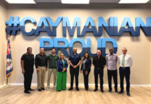
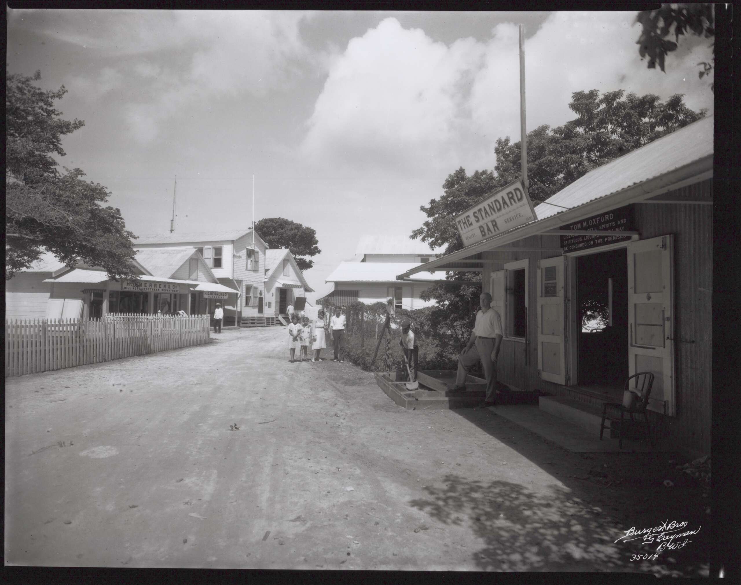
The stories behind some of the Cayman Islands’ best-known roads, buildings and historic sites are being brought to life through a new national heritage campaign that aims to reconnect residents with the people and events that helped shape the country.
The Ministry of Youth, Sports, Culture and Heritage this week launched Legends Behind Our Landmarks, an interactive digital initiative that invites the public to look beyond familiar place names and discover their history.
Accessible through the new website LegendsBehindOurLandmarks.ky; the campaign features an interactive map spanning all three Cayman Islands, allowing users to click on landmarks and explore the lives of national heroes, community leaders, educators, public servants and historic locations that continue to define Caymanian culture.
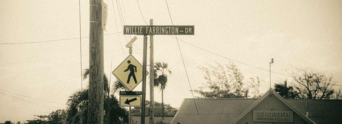
Among the featured locations are Pedro St. James, Fort George, Gun Square, the Mastic Trail and John Gray High School, alongside roads named after influential Caymanians including Captain Willie Farrington, Rev. Joseph Stephen Blackman, Linford Pierson, John McLean and Esterley “Pete” Tibbetts.
The initiative builds on the Ministry’s earlier Weh We From campaign and forms part of the Cayman Islands Government’s broader strategy to preserve Caymanian culture through education and public engagement.
“Our heritage is more than history preserved in books,” said Isaac Rankine, Cayman’s minister for youth, sports, culture and heritage. “It lives within our communities, landmarks, and the stories passed from generation to generation. Through Legends Behind Our Landmarks, we are encouraging Caymanians, particularly our younger generations, to connect more deeply with the places and people that shaped our islands and national identity.”
The website presents each location in an accessible format, combining historical background with lesser-known facts designed to make Cayman’s history more engaging for students, families and visitors alike.
For example, visitors can learn how Captain Willie Farrington sailed to Jamaica during the devastating 1931 malaria outbreak to obtain urgently needed medicine, or how Rev. John Rae Gray transformed former U.S. military buildings into the Islands’ first secondary school after arriving in Cayman in 1949.
Other entries explain why Pedro St. James became known as Cayman’s “Birthplace of Democracy”, recount the maritime significance of Gun Square in Bodden Town, and highlight John McLean’s early calls to protect Caymanite and black coral long before environmental conservation became a mainstream issue.
The campaign also serves as a reminder that many road names residents pass every day are far more than convenient monikers; they are lasting memorials to individuals whose contributions helped build modern Cayman.
The initiative also comes nearly three decades after Cayman introduced the comprehensive road naming and property numbering system that residents now take largely for granted.
Although discussions about improving street naming began in the early 1980s, the modern system emerged during the mid-1990s as the government prepared to introduce the Islands’ 911 emergency service. Before then, many roads had multiple unofficial names, while others had none at all, creating difficulties for emergency responders, utility companies and delivery services.
The Roads (Naming and Numbering) Law, enacted in 1997, formally established the Street Addressing Committee, bringing together representatives from Lands and Survey, Planning, the National Roads Authority, emergency services, the postal service and other agencies to create a consistent national addressing system.
Former Chief Surveyor Alister Ayers, who chaired the committee after arriving in Cayman in 1992, said public participation played a major role in naming many of the Islands’ roads.
Residents were invited to suggest names commemorating relatives, community figures or local history, while unnamed subdivision roads were grouped using themes such as birds, flowers or native plants to make navigation easier.

The committee also introduced the numbering system still used today, with odd numbers assigned to one side of the road, even numbers to the other, and address numbers allocated at fixed intervals to accommodate future development. The approach created a logical framework that greatly improved mapping, emergency response and property identification.
Not every suggestion made the final list. Ayers recalled one rejected proposal to name a road “Beer Belly Boulevard”, while another memorable success was “Snooze Lane”, inspired by what was then called the Sleep Inn hotel.
More importantly, he said, the system has stood the test of time because Caymanians embraced it.
Related Videos