
For the latest information on storm activity in the Cayman Islands, as well as information on how to prepare for hurricane season, visit Storm Centre.
Cayman’s National Weather Service has issued a flood advisory, as well as a small craft warning, for this Wednesday and Thursday in anticipation of potential impacts from a developing weather system in the region.
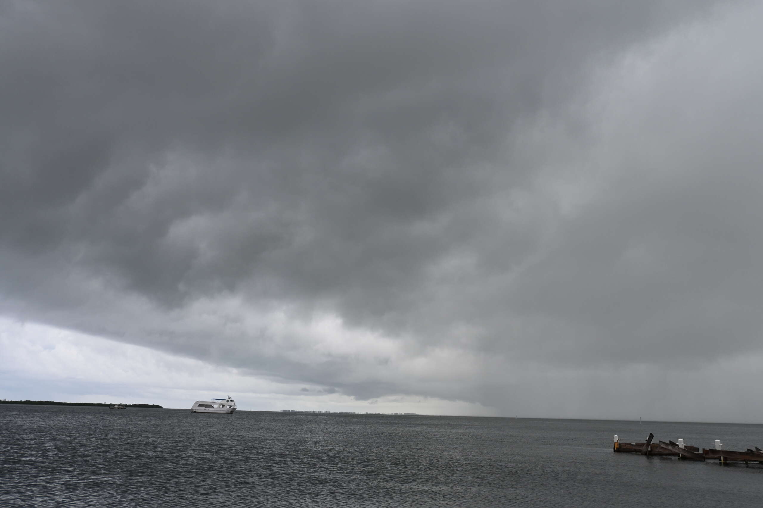
NWS senior forecaster Gilbert Miller, in an audio update on the expected conditions Tuesday morning, said an upper level trough over the northwest Caribbean is supporting some scattered thunderstorms across the Cayman Islands which “will continue to maintain highly saturated soil”.
“Tide levels are elevated at this time and are expected to remain that way this week. While there remains some uncertainty around exactly where further development will occur as the area of disorganised showers drift over the northwest Caribbean, showers are expected to increase across the Cayman Islands,” he said.
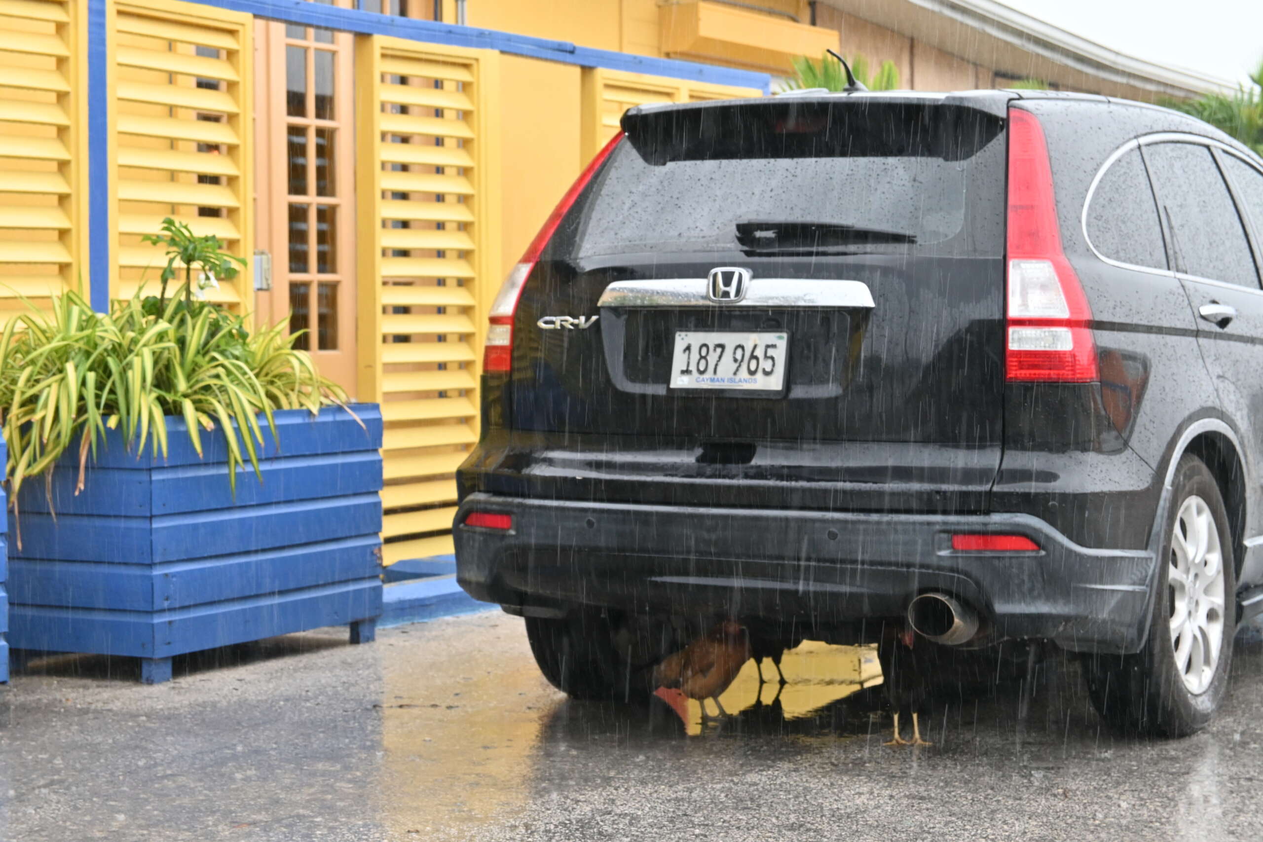
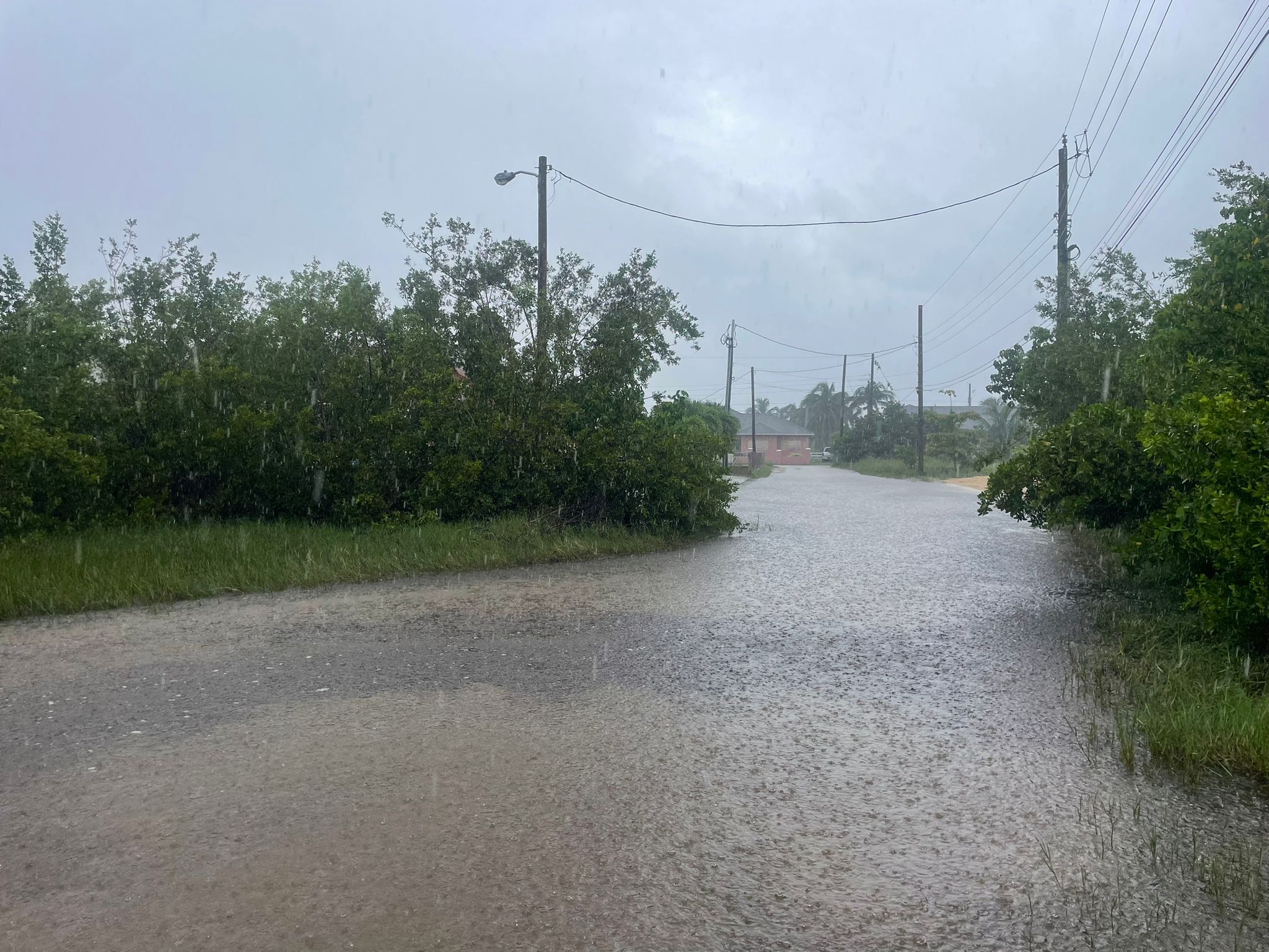
Flooding remains a concern.
Miller said increased shower activity is forecast for 2 and 3 Oct., with approximately 4 inches of rain for Grand Cayman and 2 inches for the Sister Islands expected.
“Showers may become locally heavy at times, accompanied by lightning and thunder. Moderate winds are expected at approximately 15 to 20 knots, with higher gusts in and around heavier showers. As such, deterioration in marine conditions is expected,” he added.
The weather service, in a Monday afternoon advisory, said residents should be aware of increased wave action with waves rising to between 5–7 feet by Thursday.
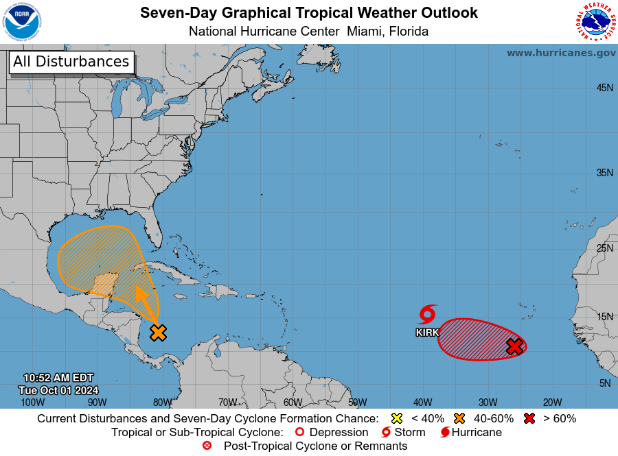
The weather system, currently in the southwest Caribbean, has been marked by the US National Hurricane Center as having a 40% chance of cyclone development over the next seven days.
Forecasts project significant rainfall and possible thunderstorms over Grand Cayman within the next 48-72 hours.
Hazard Management Cayman Islands Director Dani Coleman, in an advisory Tuesday, there is still some uncertainty relating to the system in regards to how much rainfall and the system’s overall strength.
“However, we are expecting flooding particularly in those low-lying areas, and given that the grounds are already saturated we’re advising the public to make the necessary preparations,” she said in an audio message.
Sandbag stations will be located at Frank Sound Fire station, West Bay Fire Station, Linford Pierson roundabout and the Agricultural Grounds, she said.
‘If you are living in a flood prone area, please ensure you prepare accordingly,” Coleman added.
The weather service advisory has urged residents to take precaution ahead of the impending weather conditions.
“If you are in a low-lying area, be prepared to relocate if conditions worsen. Prepare emergency kits with essentials in case of power outages. Avoid driving through flooded roadways,” the advisory stated.
Residents living in low-lying areas should also review their sandbag stock.
“Sandbags that have made contact with contaminated water are not to be reused and should be disposed of at the landfill,” the advisory warned.
The NHC, in its advisory on the system Monday evening, said the trough of low pressure located over the southwestern Caribbean Sea continued to produce some disorganised shower and thunderstorm activity.
“Environmental conditions could become conducive for gradual development, and a tropical depression could form in a few days while the system is over the southern Gulf of Mexico or
northwestern Caribbean Sea,” it said.
The weather service has advised residents to “stay safe and vigilant as we continue to monitor the situation closely”.
Related Videos


