A rare cooling pattern known as the Atlantic La Niña or Atlantic Niña has emerged in the tropics, but experts say it’s unlikely to significantly affect what is already forecast to be an above-average Atlantic hurricane season.
The Atlantic Niña phenomenon – marked by unusually cool sea surface temperatures in the central and eastern tropical Atlantic – is less well known than its Pacific counterpart. It has the power to play a role in suppressing storm development due to its cooling effects, but its impacts are typically more modest and localised.
Carl Schreck at the North Carolina State University Institute for Climate Studies confirmed the potential for downward impact on hurricane activity.
“An Atlantic Niña is cooler than normal sea surface temperatures in the Gulf of Guinea, which tends to weaken the monsoon and easterly waves over West Africa,” Schreck explained, in an email to the Compass. “The strength of that monsoon is a key predictor of hurricane activity, so an Atlantic Niña could reduce activity.”
Even so, meteorologists believe the cooling trend will be short-lived.
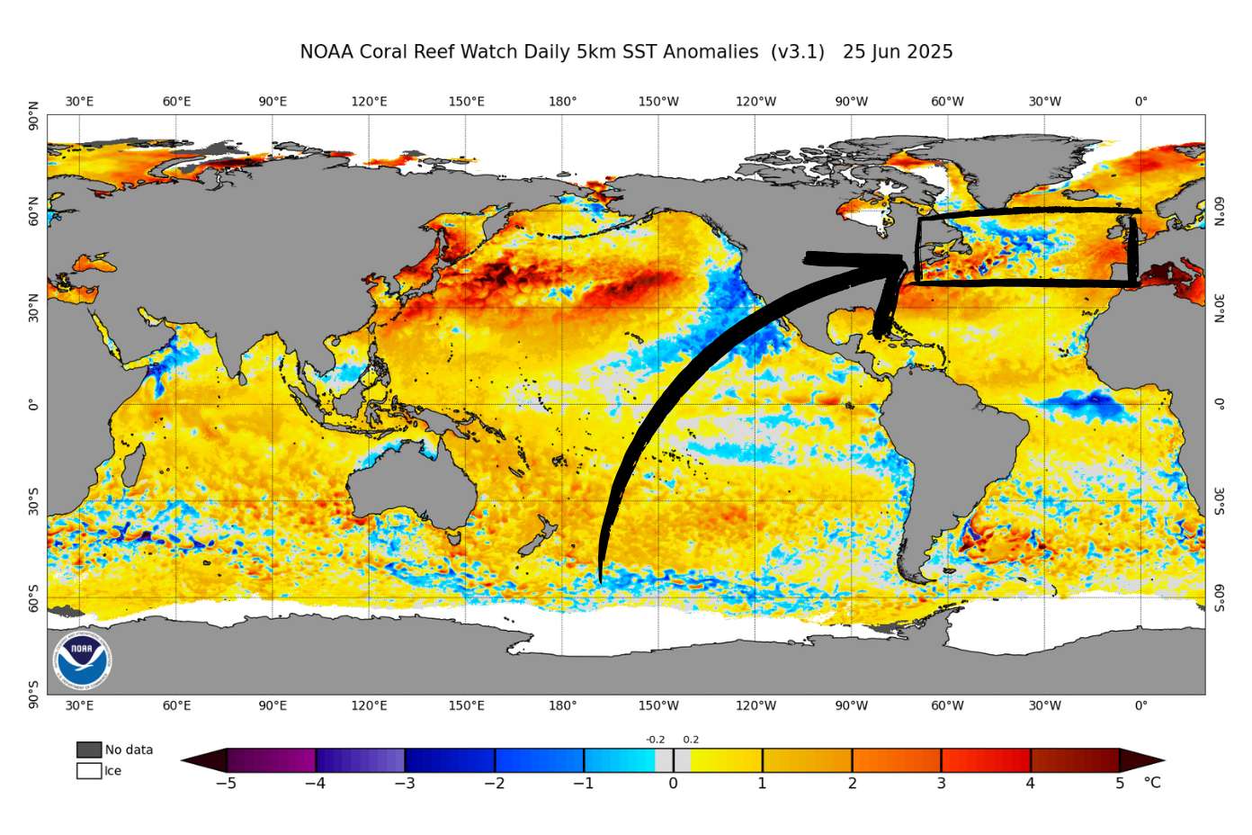
Ryan Truchelut, president of Weather Tiger, said that sea surface temperatures along the equator in the Atlantic have dropped by about 2 to 4 degrees Celsius in recent weeks, largely due to strong trade winds. But that trend, he says, is already showing signs of reversal.
“It’s been notable over the month,” Truchelut said in a phone interview.
“But I don’t think it will continue very long. It just doesn’t have the kind of persistence that the Pacific events do.
“We’re already seeing weaker trade winds, and those waters are warming up very quickly. Also, if you go down 25 or 50 metres, it’s still warmer than normal. If the Atlantic Niña was going to persist longer, the cold water would likely go down a lot further. So, I think that this will turn around probably within the next month.”
Schreck added that other climate factors have a far greater influence on hurricane activity – particularly the Pacific-based El Niño and La Niña cycles and the overall warmth of the Atlantic Ocean.
“Caribbean storms are particularly sensitive to El Niño and La Niña in the Pacific,” he said.
Above-average season still on track
Long-range forecasts continue to show that the Atlantic Niña is likely to fade in the coming weeks, clearing the way for conditions more typical of an above-average hurricane season.
Colorado State University’s latest extended forecast, released on 11 June, calls for 17 named storms, nine hurricanes and four major hurricanes (Category 3 or above) during the 2025 Atlantic hurricane season. The probability of a major hurricane tracking through the Caribbean sits at 56%, higher than the long-term average.
That forecast aligns with CSU’s April outlook and is based on trends showing either neutral or Pacific La Niña conditions – both of which are known to increase the likelihood of storms in the Atlantic basin – throughout the 2025 hurricane season.
The next Atlantic hurricane season update from Colorado State is due on 9 July.
Related Videos


