
Cayman’s Western Hemisphere satellite imagery on the National Weather Service website has been restored following a temporary suspension in the wake of Hurricane Beryl’s passage last week.
The satellite was taken offline last Tuesday as a “precautionary measure to protect the critical equipment ahead of the impending arrival of Hurricane Beryl,” a government statement said.
The National Weather Service confirmed to the Cayman Compass that its technician team restored the satellite imagery on its main site on Tuesday afternoon and it is now functional.
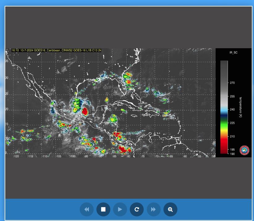
The satellite imagery and images from the Kearney Gomez Doppler Radar are both available on the weather site for monitoring of conditions in the Cayman area.
The decision to suspend the satellite, government said last week, was “made to ensure the safety and functionality of our satellite equipment, which is crucial for providing accurate and timely weather updates”.
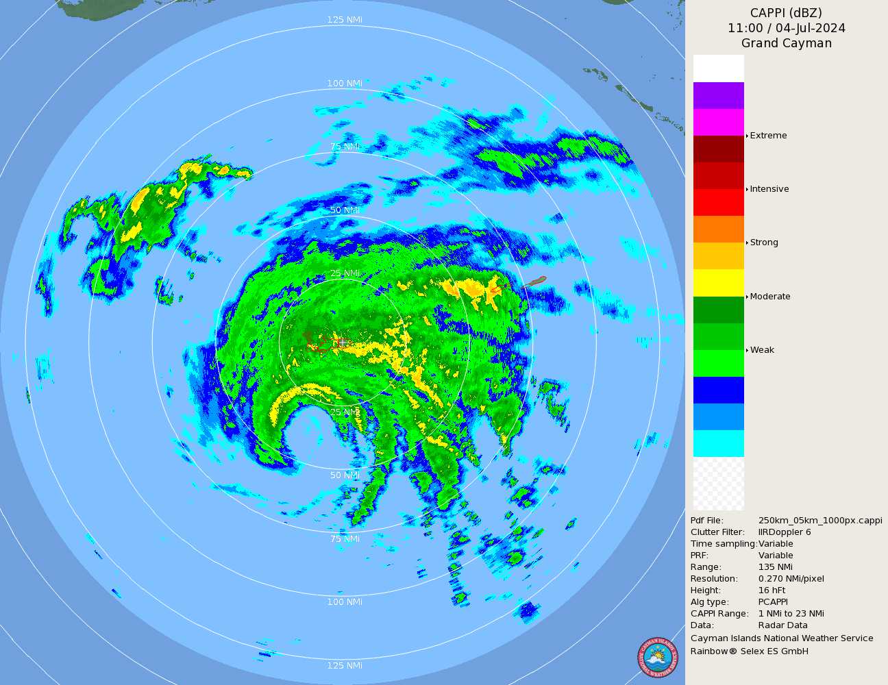
The Kearney Gomez Doppler Radar remained online during the storm.
Beryl passed 47 miles south
The weather radar allowed the community to see Beryl’s approach in real time.
The National Weather Service, in response to Compass queries, confirmed that storm’s closest point of approach to the island was 47 miles south of Grand Cayman.
At the time, Hurricane Beryl was a Category 3 storm. It had just ravaged Jamaica before turning towards the Cayman Islands and then hitting Mexico and the United States.
The storm, which broke several records, remained a post-tropical cyclone Wednesday, moving across the US towards Canada and packing maximum sustained winds near 30 miles per hour with higher gusts.
The death toll from the storm continued to evolve, but reached at least 18 with 10 deaths in the Caribbean and eight in the US.
National Weather Service data collected during the storm’s passage in the Cayman Islands showed that sustained tropical-storm-force winds were clocked at 46 miles per hour in Grand Cayman.
The winds peaked at 64 miles per hour. A total of 3.09 inches of rainfall was recorded in Grand Cayman.
Wind speeds for Little Cayman and Cayman Brac were not available.
The National Weather Service said, based on the assessment of the system, “the forecasted winds of 45 to 55 knots (55 to 65 mph) and the rainfall total of 2-4 inches closely met the observed weather statistics”.
The first recording of tropical storm winds on Grand Cayman was clocked in East End on Wednesday, 3 July at 11:30pm.
Cayman Brac’s first recording of tropical storm winds was at 9pm on 3 July, while Little Cayman got its first taste of Beryl’s winds around 9:30pm.
The duration of the winds lasted 11 hours on both Sister Islands, while Grand Cayman experienced the winds for 13.5 hours.
The winds ended at 8am on Cayman Brac and 8:30am on Little Cayman on Thursday, 4 July.
The last tropical-storm-force wind was recorded at 1pm in West Bay that day.
Related Videos


