
The ongoing Saildrone ocean-mapping survey around the Cayman Islands could face a delay from stormy weather should a system in the western Caribbean develop further.
Last week’s bad weather from the passage of Hurricane Helene triggered a two-day pause in the survey work to protect the unmanned drone from damage as seas became rough, Brian Connon, vice president of ocean mapping for Saildrone, told the Cayman Compass.
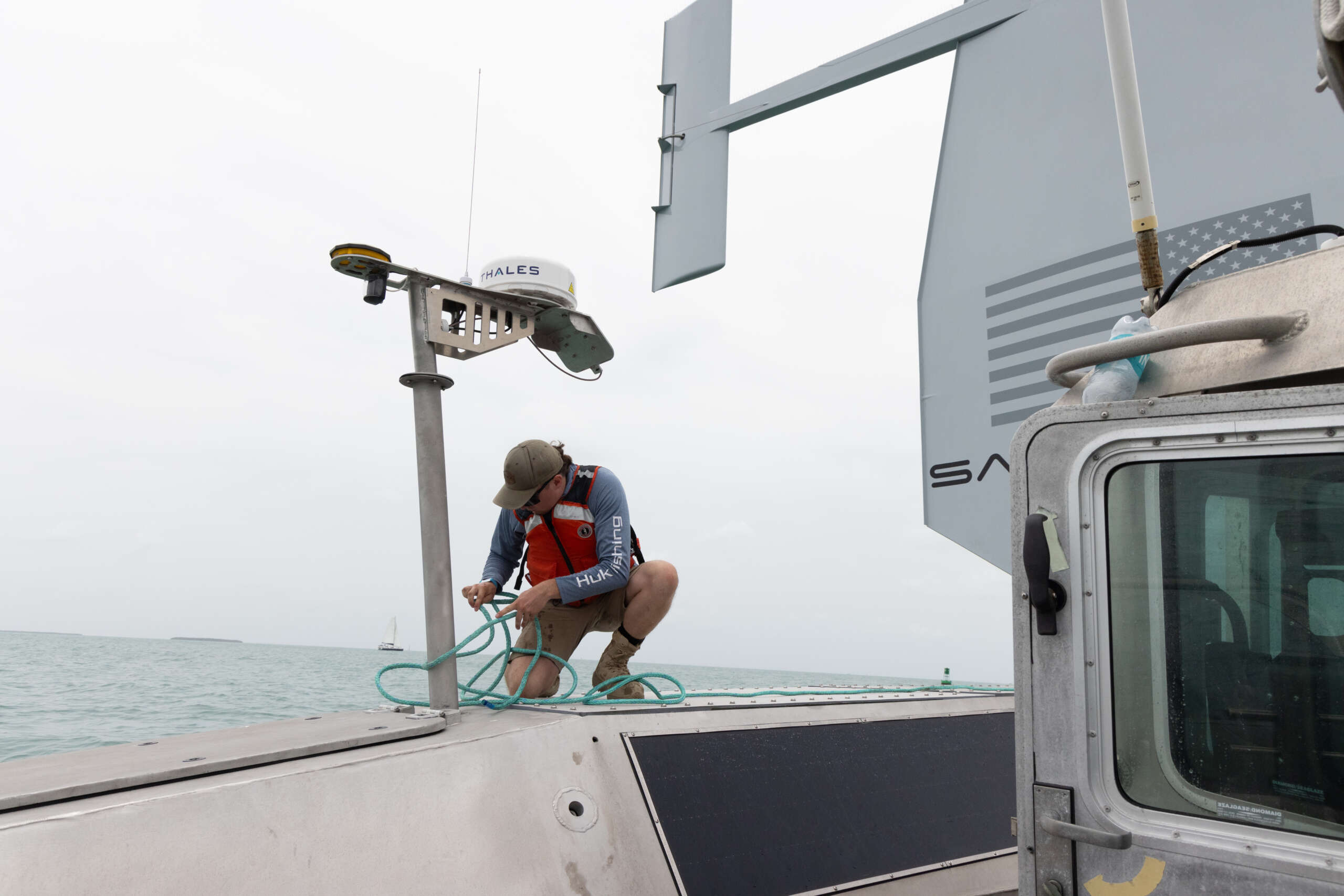
“As Helene was forming, we started seeing quite a few heavy waves, a lot of wind from that, and it was to the point where we were concerned about the safety of the vessel and also just the quality of the data,'” he said via Zoom on Tuesday.
The Saildrone has been mapping Cayman’s Exclusive Economic Zone (EEZ) since 13 Aug. through a project funded by London & Amsterdam Trust Company Limited, as an extension of philanthropy and public-private partnership.
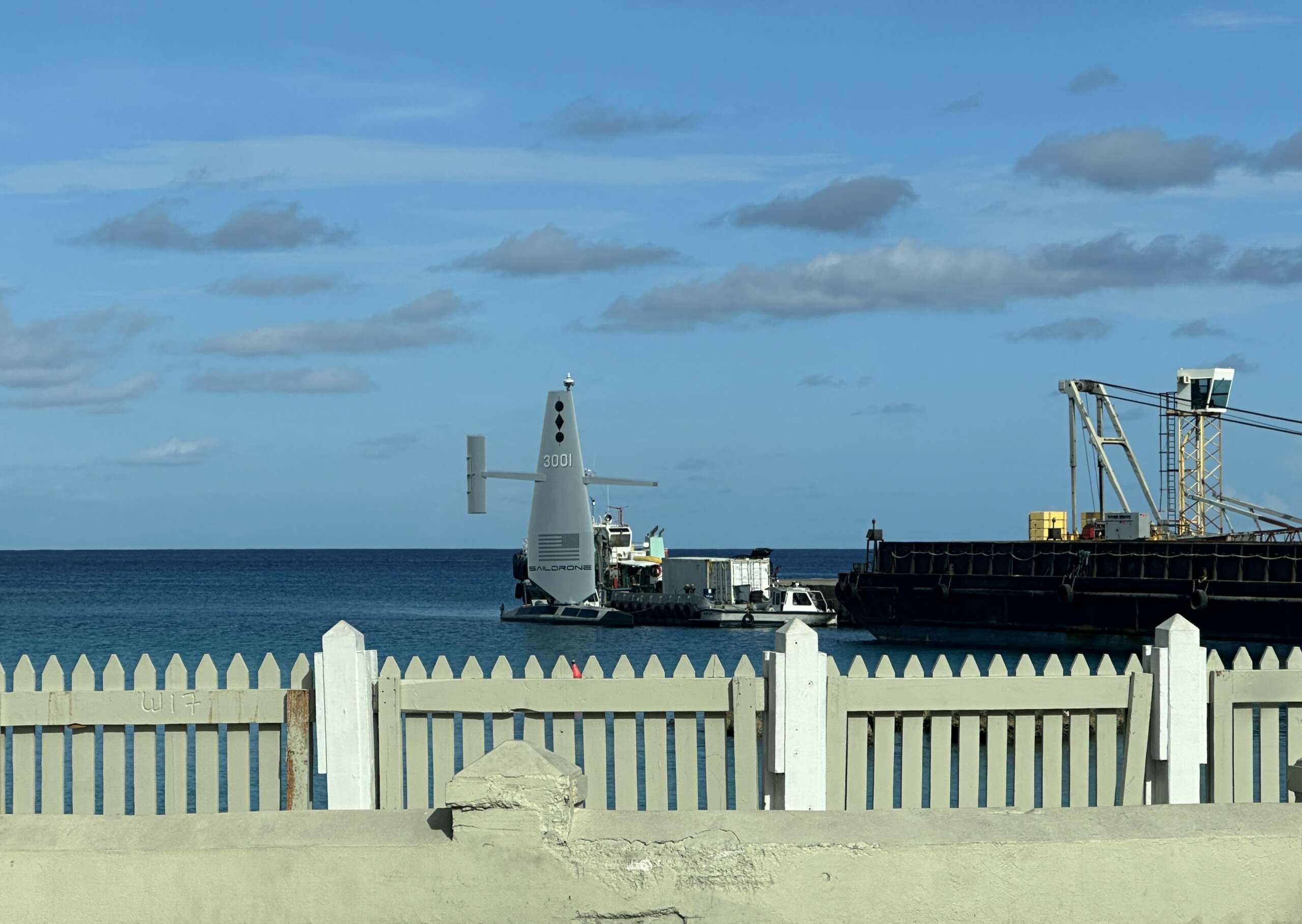
Connon, speaking from New Orleans, said through the Saildrone its pilots have a 360 degree view around the vessel using the Star Link network, which is how they collect data in real time.
Stormy weather shifts gears
He said last week as they looked at all the data that was being transmitted, the pilot made a determination that they needed to stop the survey based on the wind and waves.
“We just kind of moved a little further away and we went into what we call a storm mode, which allows us to just ride the heavy winds and waves out until it passes and then we can get right back on the survey,” he said.
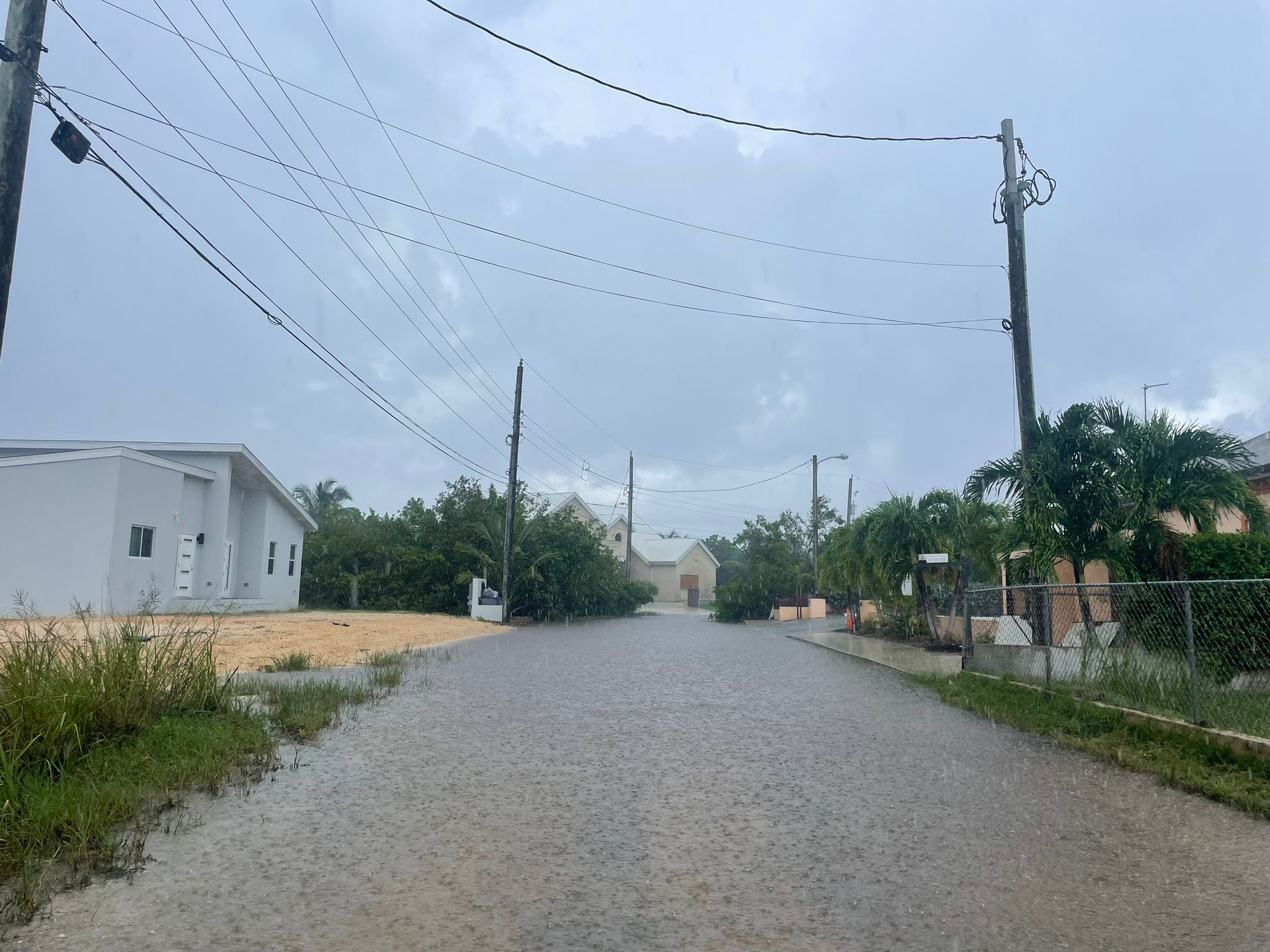
Cayman is currently under a flood advisory and a marine warning as the National Weather Service monitors an area in the northwestern Caribbean which the US National Hurricane Center has marked with a 40% chance of development through seven days.
He said the weather has impacted the timeline for the bathymetric survey, which he had hoped to conclude before year’s end.
“We’ve been also avoiding hurricanes. So we’ve had to stop surveying occasionally. For Helene, especially we were seeing some pretty heavy seas out there, again if we were on a crewed ship, we probably would have sailed into port and, with this vehicle, we just kind of rode it out and then got back on mission,” he said.
However, he said a second Saildrone is being deployed in mid-October to speed up the survey.
Connon said his team is also monitoring the area of showers and thunderstorms in the northwestern Caribbean and, should it develop, they will have to shift gears on the marine survey yet again.
“We’ve also got that second vehicle that’s gonna be [coming]. Our route down there has been to go to the west of Cuba and down, which is exactly where the [potential] hurricane [could] go. So we’ll have to see if we decide to go to the east and come in or just wait for that one to pass. Hopefully, it’ll not develop and we won’t have to worry about it,” he said.
The company has smaller drones called Explorers and one was in the Gulf of Mexico which they sent into Helene as she passed and they were able to capture data from inside the storm, Connon added.
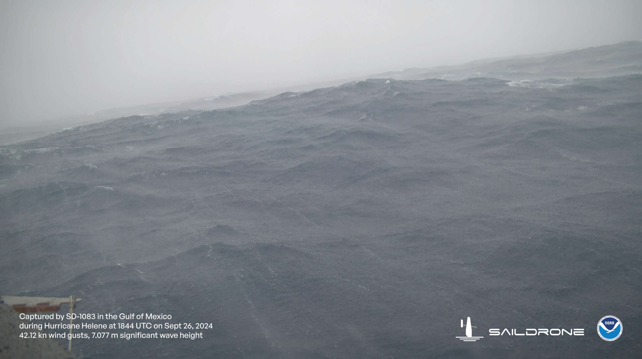
The footage, he said, was “amazing” from the wave heights to the winds in what was then a near Category 2 hurricane.
He said everyone always asks what have they learned from the Saildrones, in particular the ones that head into hurricanes.
“I affirmed that I don’t want to be there. Being able to send these Saildrones in to measure something we’ve never been able to measure in the hopes of better predicting the intensity of these hurricanes, that’s a good feeling for us to be able to do that,” Connon said.
Novel survey for small islands
The survey is assessing Cayman’s coastal waters extending from 25 metres to 12 nautical miles offshore, including 12 Mile Bank, 60 Mile Bank, Pickle Bank and Lawfords Bank.
It is also assessing the Cayman Trough and the remainder of the Cayman Islands EEZ outside of the Cayman Trough, a first of its kind for small islands in the Caribbean.
Connon said the Saildrone is only entering zones as demarcated by the Cayman Islands government and, once the survey has been completed, it will be evaluated by the UK Hydrographic Office and included on nautical charts.
“We’ve been excited about the detail that we’re getting around, especially, the shallower waters. Because when it’s in shallower water you use a different sonar and get a very high resolution; as it gets deeper and deeper, then you don’t get as much resolution,” he said.
The Saildrone team, he said, has definitely been seeing a lot of very interesting features whether it is small canyons or hills or seamounts on the floor.
He said the survey around the Cayman Islands started out at 60 Mile Bank and that mapping has been completed.
The Saildrone, he said, is now working its way to the northwest part of the EEZ.
He said some areas have been previously surveyed, so the Saildrone would not have to re-assess those areas, which will help speed the process.
While there have been no new discoveries yet, Connon said, “maybe there’s a deep water coral reef that was unknown to this point” or shipwrecks that may be found through the data.
“Those types of things are going to be really important because again those marine resources are vital to a government like Cayman’s,” he added, noting the value to the economy.
The surveying is expected to last approximately six months.
Related Videos


