Tighter regulation of how and where homes, businesses and infrastructure can be situated in future is one of the key areas Cayman can control as it contemplates the possible impacts of climate change.
Richard Mileham, of the Department of Planning’s policy unit, and one of the key people in the ongoing PlanCayman project – which seeks to update the islands’ 50-year-old Development Plan – talked to the Compass about how the process will seek to make Cayman more climate-resilient.
Q: To what extent will sea-level rise projections be factored into the Development Plan?
A: The draft National Planning Framework document (from 2018) recognises the potential impacts of sea-level rise projections and climate-change effects, such as more frequent and more intense storms, and seeks to ensure that developments along coastal areas are designed with appropriate hazard risk-reduction strategies.
It is also recognised that different coastlines have different characteristics (i.e. whether they are beaches, mangrove, ironshore or have varied off-shore conditions) which affect the level of threat from storm surge and other climate-change impacts.
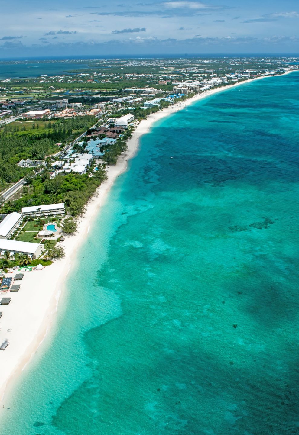
Therefore, the Development Plan review will explore these issues in more detail during the preparation of each Area Plan to ensure that any specific provision made for sea-level rise projection reflects the level of threat for a given location within the country.
Also, it is worth noting that the PlanCayman Development Plan review commenced prior to the establishment of the Ministry for Sustainability and Climate Resiliency.
It has subsequently been acknowledged that ongoing work on the Development Plan review will be in cooperation with the ministry and so issues concerning sea-level rise projections and other climate-change effects will be incorporated into the work.
Q: What implications will climate change have on the rules and regulations around how and where people can build?
A: As indicated above, each Area Plan will seek to implement the goals and objectives set out within the overarching National Planning Framework document, but with area-specific variations.
This means that during the preparation of each Area Plan the particular risks (along with opportunities) for different parts of the Cayman Islands can be explored in more detail in order to derive regulations that are applicable to individual locations.
Essentially, the rules and regulations that may be established in one place will differ in another to reflect the pressures and needs of those communities. Climate change will certainly be a contributing factor in determining future regulations about how and where people can build.
Q: Do you think enhanced building codes will be needed in the future?
A: Building codes are currently being amended and enhanced to ensure that the built environment evolves to address the changing natural elements and to better allow us to withstand and mitigate hazards.. The draft framework acknowledges that measures are required to encourage more sustainable building design (such as design guidelines and/or incentives) supported by the adoption of updated building codes.
Q: How seriously do you take the sea-level rise projection maps and how we can respond as a country to that level of impact?
A: The sea-level rise projection maps are helpful and will certainly be considered part of each Area Plan’s discussions. Consideration will likely be given to the zoning of those locations and what regulations are needed to protect communities and mitigate any impact on natural resources in locations at risk from sea-level rise.
Q: Taller buildings with wash-through bottom floors have been touted as a potential building adaptation to sea-level rise. How could this potentially be managed to address the fear of Cayman becoming a Miami Beach?
A: Design solutions which successfully address particular issues will be welcome and we’ll look at overseas examples to identify those that are applicable to Cayman. As noted above, we will work closely to colleagues in the Ministry of Sustainability and Climate Resiliency to ensure that development in the future does not exacerbate the problem (such as coastal erosion) but instead provides a more sustainable form of development.
Related Videos


I think it is great to revisit and change a 50 year old development plan and, in this case, change it as necessary for rising sea levels. However, in the meanwhile, it would help many people if there are setbacks from the buildings for sidewalks so people who want to walk to visit a neighbor, for exercise, etc are not forced to walk in the street. Northwest Point Road is only one example where a person can walk on a sidewalk for a short distance until he runs into the latest building built to the property line and he(she) must continue the walk in the street until another short sidewalk appears.