
National forecasters say a fleeting weather disturbance will produce overcast skies and scattered showers in Cayman for the next 24 hours.
In its 6 June afternoon forecast, the Cayman Islands National Weather Service noted that the adverse weather conditions were the direct result of a weak pressure gradient that was passing through the northeast Caribbean.
“An increase in cloudiness and shower activity is expected from this afternoon as an area of disorganized showers drifts across our area,” according to forecaster Shamal Clarke of the National Weather Service.
A satellite image from the US-based National Hurricane Center shows the Cayman Islands completely engulfed by the passing weather system.
Overnight, the NWS is calling for sustained rainy conditions.
“Cloudy skies to overcast with an 80% chance of showers and thunder [are expected],” noted the forecast. “Showers may become locally heavy at times leading to flooding of low-lying areas. Temperatures will fall to the upper 70’s °F. Winds will be light and variable. Seas will be slight with wave heights of 1 to 3 feet.”
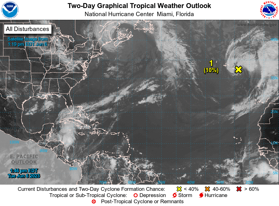
Further east in the Atlantic Ocean, regional forecasters are tracking a tropical wave which has a 10% chance of further development.
This system poses no threat to the Cayman Islands.
“A non-tropical area of low pressure located near the eastern Azores is producing disorganised showers and thunderstorms with wind gale force over the northeastern Atlantic Ocean,” stated the NHC in its afternoon forecast.
According to the NHC, the system is likely to travel further northeast in the coming days and it is expected to encounter cooler waters which are not conducive for development.
Related Videos


