
All road closures implemented in George Town and West Bay following rough seas have been lifted, the RCIPS has said.
Police, in an updated advisory Wednesday afternoon, said, all impacted roads have been cleared and re-opened to the public.
Reopened roads include; North West Point Road, in the vicinity of Cracked Conch, the junction of North West Point Road/Town Hall Road, Eastern Ave/North Church Street, Bodden Road, Mary Street and Boilers Road, all of which had been littered with debris and some damage from ongoing rough seas.
The RCIPS has encouraged motorists to exercise caution as they traverse these areas as “as some road work is still being carried out”.
The National Roads Authority and Department of Environmental Health were commended as their crews “worked tirelessly and diligently in order to clear our roads as quickly as possible,” the RCIPS said.
The National Weather Service has lifted its gale warning, but a marine advisory remains in effect, and boat owners are being urged to keep their vessels in safe harbour as rough seas persist across the Cayman Islands.
The wind and high waves will continue to weaken over the next 24 hours, meteorologists said.
Winds throughout today will be north-to-northwest at 15 to 20 knots with higher gusts, becoming north-to-northeast from the afternoon, the weather office said.
Seas will be very rough with wave heights of 7 to 9 feet, dropping to 5 to 7 feet by this afternoon, and to 4 to 6 feet overnight. The rough sea conditions are expected to continue through to Friday evening.
Assessing the damage
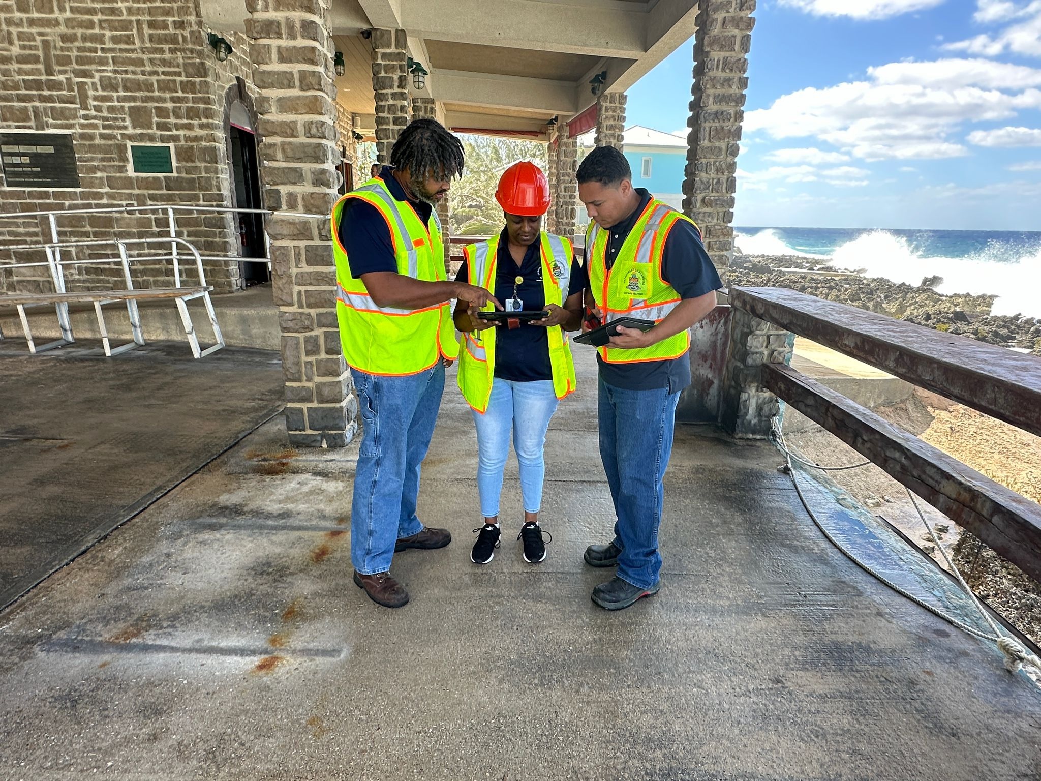
Damage caused by Tuesday’s strong nor’wester is being assessed across all three islands.
Director of Hazard Management Cayman Islands, Danielle Coleman, told the Compass on Wednesday morning that her office, together with the Fire Service, RCIPS, the Cayman Islands regiment, Department of Planning, Department of Environmental Health and other government agencies, are working together on assessments and clean-up projects.
She said large swells were still being experienced and there was still a risk involved in certain areas, so is advising people to stay away from the shoreline.
“There is still a lot of risk out there,” she said, as she reminded that a marine advisory is still in effect.
A strategic meeting of various agencies and departments was held this morning to determine the work that will need to be carried out and identify the areas of highest risk.
Coastal roads in George Town and West Bay were closed off while debris was being cleared. North West Point Road had reopened by late Wednesday morning, and the harbourfront roads in George Town were being reopened in sections. By 1:30pm, the road from Fort Street to Melmac Avenue was still closed off.
Coleman advised people whose homes or businesses were breached to try to clean them out and air them to prevent mould forming, and to wash down cars with fresh water, if they had been impacted by sea spray.
She said government would be releasing more information today regarding the ongoing clean-up efforts.
Mark Codling, hazard mitigation specialist with Hazard Management, said images received from the RCIPS helicopter team had helped identify areas that were the worst affected by the storm.
On Cayman Brac, in addition to debris strewn across roads, he said there had also been some damage to the road infrastructure. “We’re working very closely with Public Works on the Brac,” he said.
Asked if Cayman could have prepared better for this storm, Coleman said, “It’s always fair to expect the unexpected,” especially in light of climate change and rising sea levels in Cayman’s low-lying topography.
“When sea levels rise, you have this kind of wave activity. We are always going to be severely impacted by it,” she said.
She urged people to download the National Emergency Notification System (NENS) app, on which they can get alerts via their phone.
Additional reporting by Norma Connolly.
Related Videos


