
The ongoing Saildrone ocean-mapping survey around the Cayman Islands has been paused as the unmanned drone conducting the exercise undergoes servicing in dry dock.
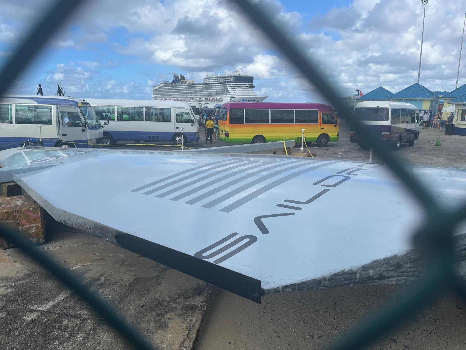
The Saildrone surface vessel was cordoned off at the George Town port this week, putting the pilot project mapping Cayman’s Exclusive Economic Zone (EEZ) on a short hold.
The Cayman Islands EEZ is 29,300 square nautical miles and extends up to 200 nautical miles from shore, encompassing an area, “about half the size of Florida – and 380 times greater than the island itself,” a previous statement on the survey said.
Saildrone, in response to Cayman Compass queries on the status of the vessel, said in a statement that it was in dock “for a planned service stop, it is not damaged”.
“This service will not impact the completion of the survey. We expect to be back out on the water at the end of next week,” it added.
Saildrone, through its blog on the ocean survey, said from 25 Nov. to 6 Dec., its Surveyor SD-3001 will be in port for routine maintenance.
The survey. launched in August, is assessing Cayman’s coastal waters extending from 25 metres to 12 nautical miles offshore, including 12 Mile Bank, 60 Mile Bank, Pickle Bank and Lawfords Bank.
The work is being done through a project funded by London & Amsterdam Trust Company Limited.
This marks the second delay for the project as the vessel had to be pulled back from open waters during the passage of Hurricane Helene.
The storm triggered a two-day pause in the survey work to protect the unmanned drone from damage as seas became rough, Brian Connon, vice president of ocean mapping for Saildrone, had told the Cayman Compass.
Updates posted
Recently, local mariners have expressed concerns over the route that the vessel has been using, especially in the shipping lanes, and the absence of formal notice of the work.
Saildrone said in the statement had issued a notice to mariners via the Cayman Islands Coast Guard detailing planned operations in and around the Cayman Islands.
“We also have a blog that is regularly updated with our planned survey operation areas. All Saildrone vehicles, including our Surveyor-class vehicle, follow standard maritime procedures when approaching and crossing shipping lanes,” it said.
The vehicle pauses to assess inbound and outbound traffic when approaching traffic lanes and crosses perpendicular to the direction of traffic, according to the statement.
“Saildrone operates in busy shipping areas all over the world and our 24/7 Pilot team takes a conservative approach to operations,” it said.
Real-time data
The Saildrone’s pilots also have a 360-degree view around the vessel using the Star Link network, which is how they collect data in real time.
Additionally, the statement said, the Surveyor uses an automatic identification system that is visible to all passing ships.
So far, Saildrone said, 26% of the survey area has been completed.
“Initial survey operations have focused on completed coverage over the main fishing banks of 60-Mile Bank, Pickle Bank, and Lawfords Bank. 12-Mile Bank will be surveyed following the current service stop,” the statement said.
The mission will provide detailed and precise bathymetric data for the Cayman Islands, contributing to a comprehensive understanding of the seafloor topography in the region.
The data collected will not only enhance maritime navigation and charting but also support scientific research, environmental conservation efforts, and marine resource management in the Cayman Islands.
Related Videos


