
For the latest information on storm activity in the Cayman Islands, as well as information on how to prepare for hurricane season, visit Storm Centre.
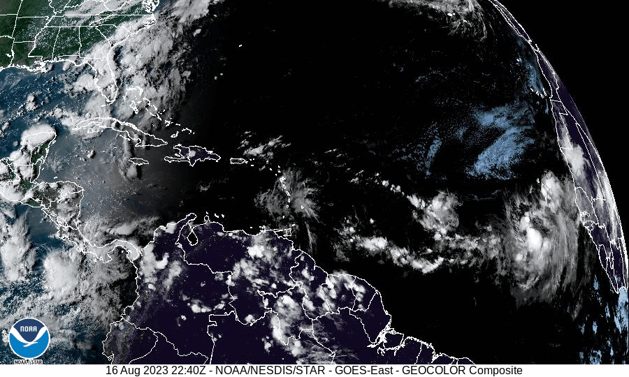
The Atlantic hurricane basin is abuzz with storm activity, as forecasters monitor four potential systems that are likely to strengthen in the coming days.
However, none of the systems pose any immediate threat to the Cayman Islands.
The first disturbance, a tropical wave in the central Atlantic Ocean, several hundred miles west of the Cabo Verde Islands, is a broad area of thunderstorms that forecasters at the US-based National Hurricane Center say has a nearly 60% chance of development during the next four days.
“Environmental conditions appear generally favorable for additional development of this system, and a tropical depression is likely to form over the weekend while it moves toward the west-northwest or northwest at about 10 mph across the eastern tropical Atlantic,” said the NHC, in its 8am weather outlook on Friday, 18 Aug.
The second tropical disturbance is approximately halfway between the Lesser Antilles and Cabo Verde Islands, and is also producing thunderstorms. Forecasters say this system has a medium, or 40%, chance of further development over the next seven days.
“Environmental conditions are only marginally conducive for further development of this system, but a tropical depression could still form during the next couple of days while it moves west-northwestward at 10 to 15 mph across the central tropical Atlantic,” said the NHC. “Thereafter, upper-level winds are forecast to become unfavorable for any further development.”
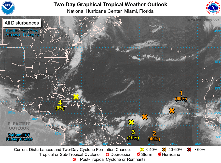
The third system in the central Atlantic Ocean is a weak tropical wave which was spotted on NHC’s radar overnight, and is currently several hundred miles east of the Lesser Antilles.
“Some slow development of this system is possible over the weekend and into early next week as it moves generally west-northwestward at 10 to 15 mph across the Lesser Antilles and into the northeastern Caribbean Sea,” said NHC forecasters.
This system has a low, or 30%, chance of further development within the next seven days.
The fourth and final system is another tropical disturbance that is currently over Hispaniola, and is expected to drift into the Caribbean later this week as it moves towards the Gulf of Mexico.
Related Videos


Does CC have an app?