
At a glance
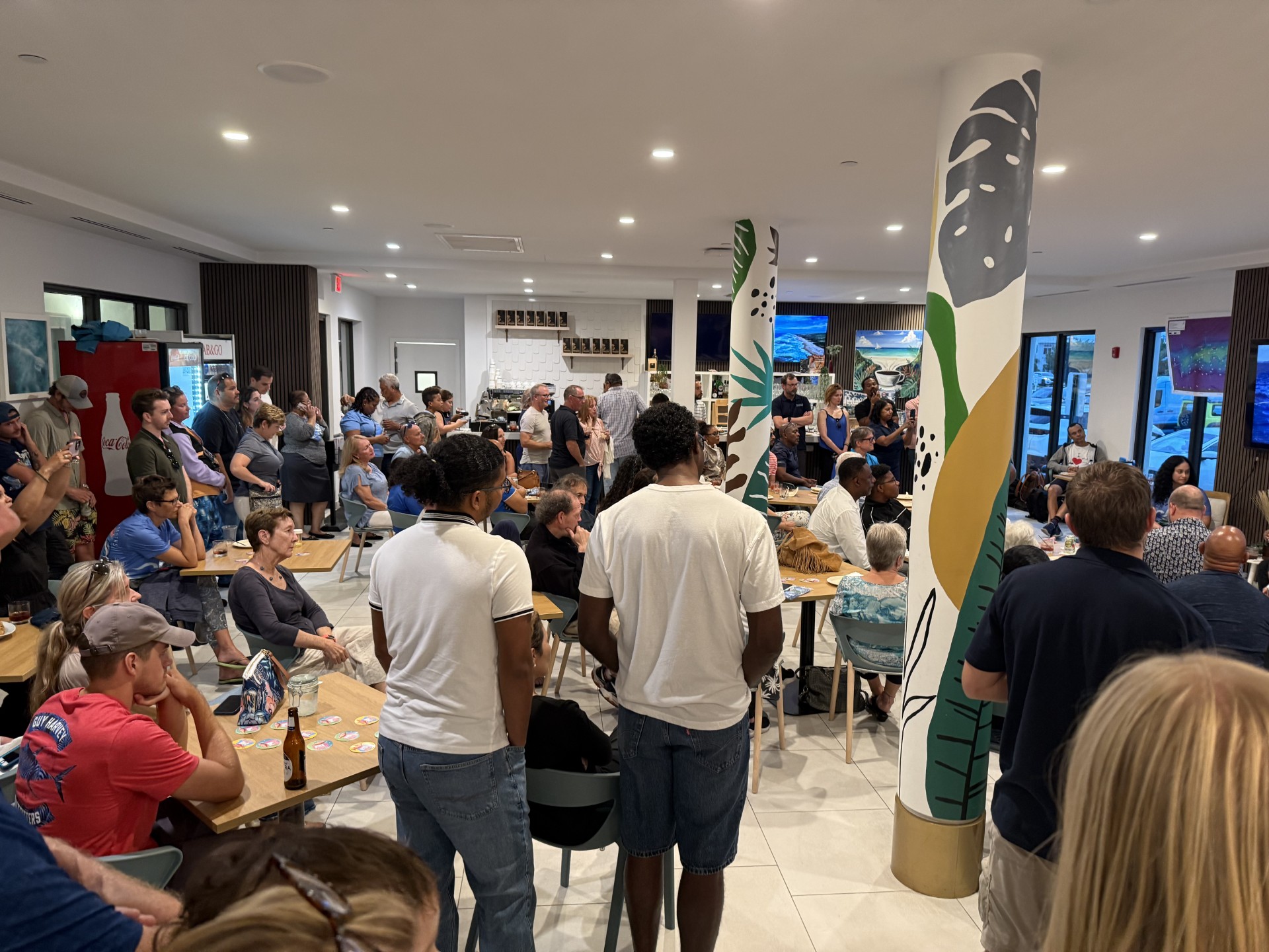
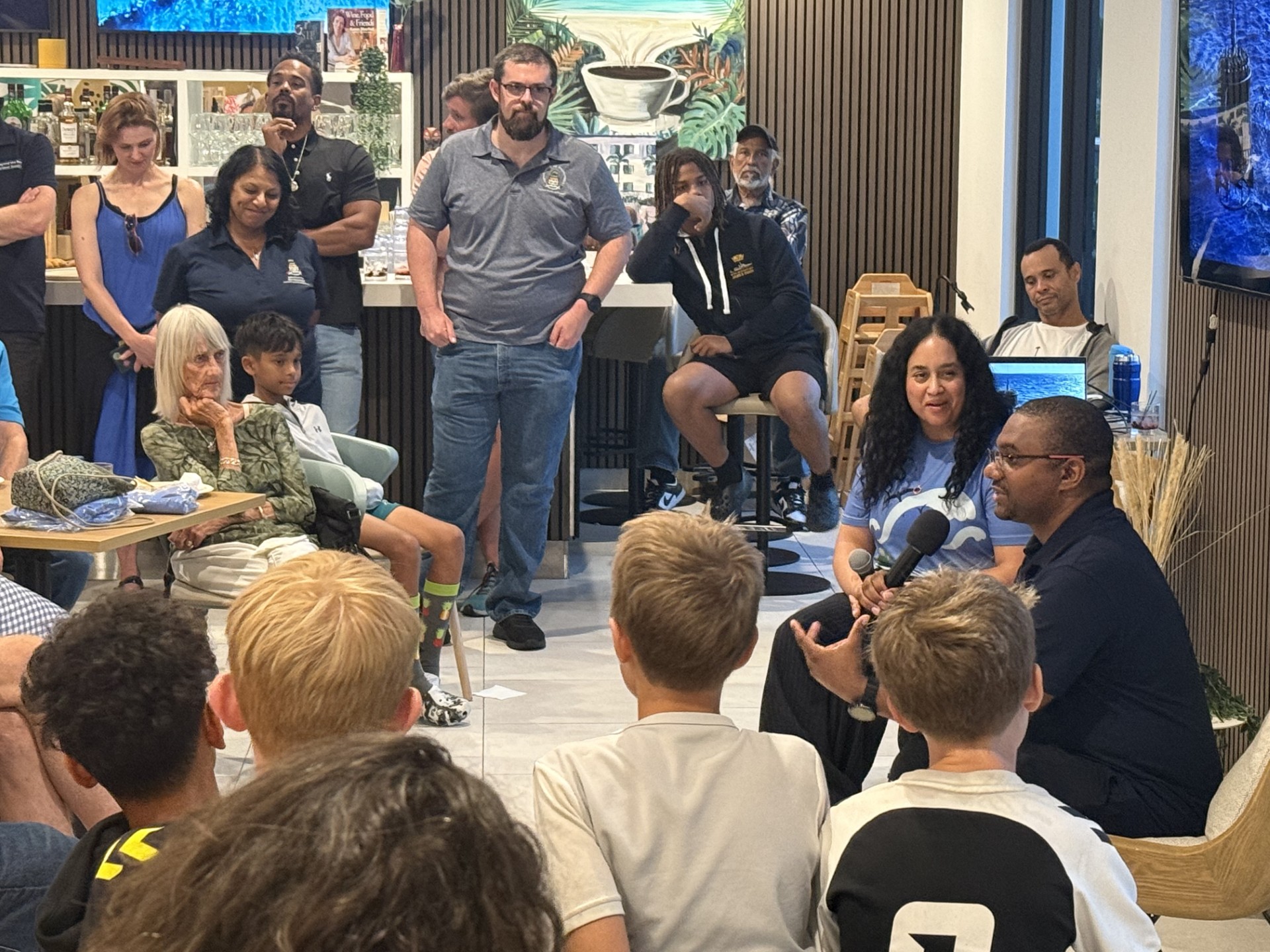
- The public had a chance to learn more about the Beyond the Reef expedition at a port-of-call event
- One of the most innovative elements of the voyage was environmental DNA
- Photographs were taken of Lawford’s Bank, where a significant shark presence was observed
- Data from this expedition will help establish baselines: mapping habitats, assessing water quality and pollutants
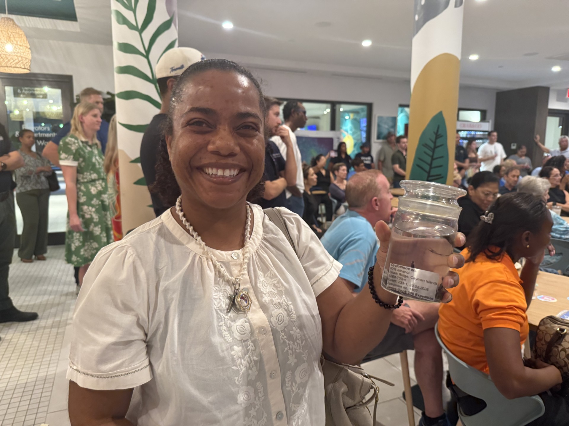
The Cayman Islands crew of the ‘Beyond the Reef’ expedition hosted a port-of-call party, inviting the public to hear what they had discovered during their trip aboard the UK Royal Research Ship, the RRS James Cook.
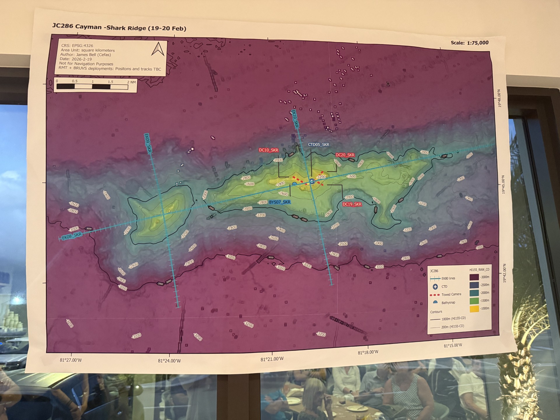
The well-attended event was held on 25 Feb at the Village Café at Governor’s Village. Around the room, tables displayed deep-sea specimens collected during the voyage. Maps of 60-mile Bank, Pickle Bank and Lawford’s Bank lined the walls. For many in the audience, these offshore features had long been names spoken by fishermen, now they were places revealed in detail by multibeam sonar, cameras and water samples taken hundreds of feet below the surface.
A flagship mission
The ‘Beyond the Reef’ expedition forms part of the UK Government-funded Blue Belt Programme, a marine conservation initiative supporting overseas territories to better understand and manage their waters.
Blue Belt Programme Officer Kelly Forsythe described the trip, as “an adventure of a lifetime”.
She embarked on the RSS James Cook from the Dominican Republic on 13 Jan. and took part in the early stages of the research mission in the waters around Anguilla and the Turks and Caicos Islands. Later, seven members of the Department of Environment’s marine, coral and terrestrial research unit teams joined the ship for the Cayman leg of the voyage.
In total, 46 marine scientists and managers took part across the region, mapping vast areas of seafloor, sampling water at different depths and studying biodiversity from the surface to the deep sea.
The mission is directly linked to Cayman’s commitment under the global biodiversity framework to protect 30% of its waters by 2030 – also known as the ’30 by 30′ target. But to protect effectively, managers first need to understand what is there.
DNA in a bottle
Justin Porter, coral lab technician at the Department of Environment, highlighted one of the most innovative elements of the voyage: environmental DNA, or eDNA.
“Fish leave behind evidence of their presence in the water column,” he said. “During the course of the voyage, we took hundreds of water samples. These will be processed to detect DNA in the water. That information will help us understand which species are swimming through the environment where the samples were taken.”
Unlike cameras, which can be avoided by some species, eDNA offers a broader picture. It can confirm the presence of economically important fish such as snapper and help validate what local fishermen have long reported.
Traditional methods were also deployed. On 60-mile Bank, a ‘bathysnap’ camera system was placed on the seabed for 48 hours, with a baited arm and timed photographs every three minutes. Forsythe added.
“The images revealed queen, silk and wenchman snapper.” She said, “Pickle Bank showed fewer snapper in comparison, with queen snapper dominating.”
The team also collected baited remote underwater video footage, which on 60-mile Bank captured mature parrotfish and even pelagic tuna species moving across mesophotic reefs. Mesophotic reefs include the areas where sunlight still penetrates below the surface, but which are below safe recreational diving limits of around 100 feet, down to a depth of around 400 feet.
Healthy reefs and human footprints
Asked about some of the most interesting finds, Forsythe highlighted the uniqueness of Cayman’s offshore banks.
“They are significantly unique in size, shape and topography, they are all quite different.” she said.
She said the health of the mesophotic reefs was encouraging. Forsythe told the audience that, “While perhaps not as abundant as in the past, corals currently present on 60-mile and Pickle Bank appeared healthy and free of disease.”
There were surprises too: deep-sea reefs made up of soft corals, glass sponges and gorgonians; a misty grouper more than three feet long at 1,200 feet; and photographs taken of Lawford’s Bank, where a significant shark presence was observed.
In terms of biodiversity, Cayman compared favourably with Anguilla and Turks and Caicos. The expedition recorded greater presence and abundance of crustaceans such as shrimp, crab and krill; cephalopods including octopus and squid; and sharks, from dogfish to oceanic white tips.
No species new to science were confirmed, but one intriguing visitor was recorded: the free-swimming pelagic sea cucumber, enypniastes eximia, sometimes called the ‘headless chicken’, may be new to the region, according to Forsythe. “Previously, it had only been seen in places like the Galápagos,” she said.
Not all findings were pristine. Even at depths exceeding 4,500 feet, the towed camera captured cans and glass bottles; stark reminders that human activity reaches far beyond the shoreline.
Exploring sea mounts, corals and biodiversity
Cayman crew members Paul Chin, Claire Fletcher and Sabrina Douglas were primarily tasked with investigating the offshore sea mounts, which are underwater mountains that never break the surface. Forsythe said, these geological features “act like oases in the ocean, attracting fish, corals, and even seabirds as nutrient-rich currents sweep up their slopes”.
Megan Ehman and Porter were onboard to study how deep-sea corals grow on these banks.
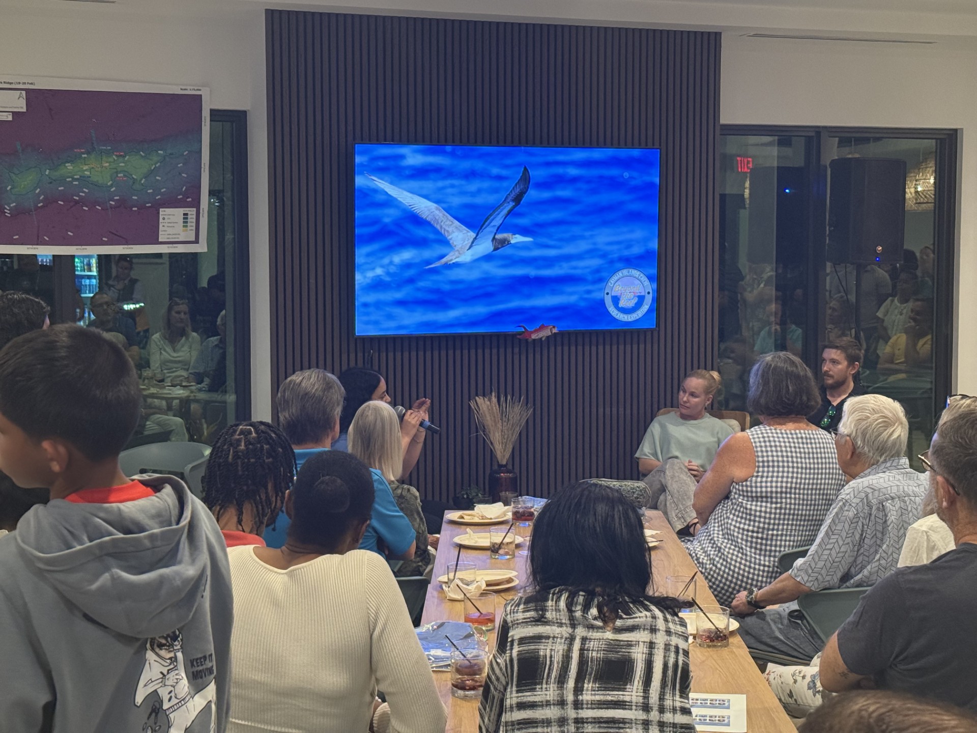
The Department of Environment’s Matthew Southgate and Jane Håkonsson’s mission on the ship was to focus specifically on seabird species and behaviours. During the presentation, Håkonsson said they saw booby birds and other species they expected to encounter, but they also had some unexpected visitors while at the Pickle Bank. “We saw an osprey and a group of 20 homing pigeons, which was unusual because when we spotted them, we were over 60 miles from land,” she said.
Why the expedition matters
Cayman’s offshore fisheries remain largely unregulated, with limited data on vessel activity, catch volumes and traceability. There is uncertainty around the health of key fish stocks and growing concern about illegal, unreported and unregulated fishing.
Information posted on the Department of Environment website indicates that data from this expedition will help establish baselines, mapping habitats, assessing water quality and pollutants and improving understanding of life histories and population health of snapper and other economically important species.
Catch-per-unit-effort, a key fisheries indicator, depends on knowing what is present and in what abundance. Environmental DNA, seabed imagery and long-term monitoring can help that effort.
Satellite imagery and vessel tracking will also play a role in identifying ‘dark vessels’ operating in Cayman waters without oversight.
Beyond the science, there is a strategic goal: proactive protection. Identifying vulnerable deep-sea habitats will allow policymakers in the Cayman Islands to consider marine protected areas before damage occurs.
Over the course of the research expedition, over 4,000 square miles of the seabed were mapped in Cayman waters and almost 10,000 specimens were collected from depths of 3,600 feet to the surface.
Related Videos


