
The scope of an environmental impact assessment for two sections of the proposed East-West Arterial extension has been expanded to a 1.5-mile radius of the road, rather than one mile as suggested in the original draft, following a public consultation on the controversial project.
The final terms of reference of the environmental impact assessment of the 10-mile six-lane road extension, from Woodland Drive in Savannah to Frank Sound Road in North Side, have been published, after two public meetings and the receipt of scores of comments, suggestions and objections from environmental groups and members of the general public, including young schoolchildren.
Acknowledging that the addition of a new road will prompt residential and commercial growth in the surrounding areas, with access via roundabouts along the route, the consultants’ report noted, “For this analysis, the potential for induced growth will be evaluated within approximately 1.5 miles of each new access point.”
The document states that “several proposed developments have been identified” already and the impact of those projects will also be taken into account in the EIA.
It added the effect of increased traffic from the new developments along the route, would be “estimated and evaluated”.
The original one-mile radius area had focused on “expected, direct induced growth”, the report noted. Consultants working on the EIA terms of reference had said that, based on their previous professional experience, development growth prompted by new roads are usually within a one-mile radius of the roundabout access points.
Sustainable Cayman, in its submission on the EIA scope, called for the impact assessment area around the road to be expanded, saying that historical trends and a lack of a national development plan warranted an assessment of projected growth along the entirety of the route, in areas the land has no statutory environmental protections, within a 1.5-mile radius.
The consultants responded, “We agree with the suggestion to increase the induced growth study area to 1.5 miles to better evaluate potential development along the corridor. The 1.5-mile buffer is located off of the proposed roundabout locations as the primary arterial corridor is anticipated to be limited access.”
One submission in the public consultation suggested that the National Roads Authority build the road extension without roundabouts, thereby discouraging development in the surrounding area that would further impact the environment.
The consultants seemed to discount that suggestion, stating in the report, “The proposed roundabouts are located at junctions where it is anticipated that some form of traffic control is necessary. The remaining corridor is proposed to be treated as a limited access corridor.”
Young voices
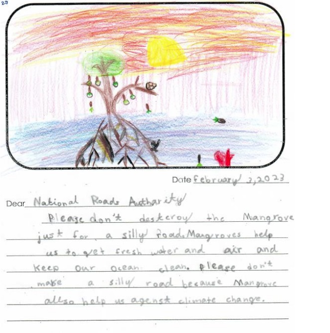
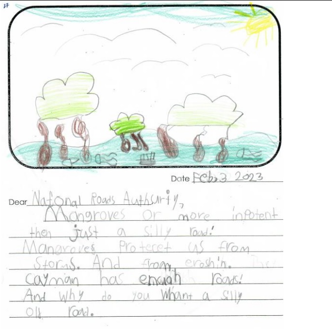
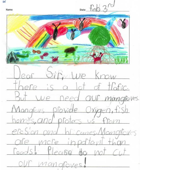
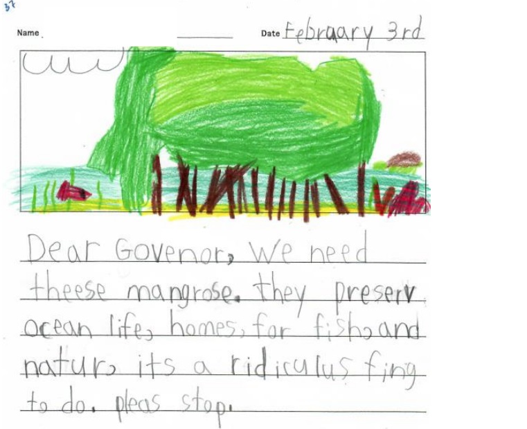
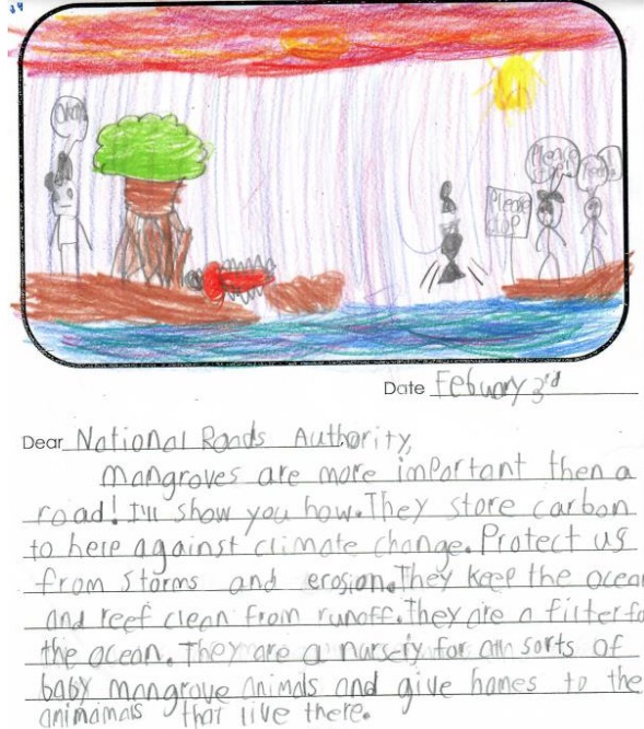
Among the many comments, expressed verbally at the public meetings and in written form, were dozens from young schoolchildren, who submitted drawings and pleas to save the mangroves.
Several described the East-West Arterial expansion as a “silly road”, and in their handwritten letters – addressed variously to the governor, government, the National Roads Authority and even King Charles – said Cayman needed the mangroves more than it needed a new road.
A timeline for the road expansion is not yet known, but now that the scope of the assessment has been finalised, the EIA can begin. It is expected to be take about a year to complete.
Divided opinion
Opinion over the proposed expansion, part of which cuts through the Central Mangrove Wetland – the largest of its kind in the Caribbean – is strongly divided, with many in the eastern districts calling for the road to be built as soon as possible to alleviate gridlock during their morning and evening commutes, and others decrying the expected detrimental impact on the environment.
The matter led to heated debate in Parliament recently when legislators debated a motion which called for the EIA to be scrapped for the section of road from Woodland Drive to Lookout Gardens. That section, and another one from Lookout Gardens to Frank Sound Road, are both legally subject to an EIA, under the National Conservation Act. A section from Hirst Road to Woodland Drive, already under way, is not subject to an EIA.
All the MPs in the House at the time, including Premier Wayne Panton, who is also Minister for Sustainability and Climate Change, voted unanimously in favour of not carrying out an EIA on that section. A number of environmental groups on island have since expressed their concern over the lack of political support for the EIA to go ahead.
Read the final EIA terms of reference here.
Related Videos


