
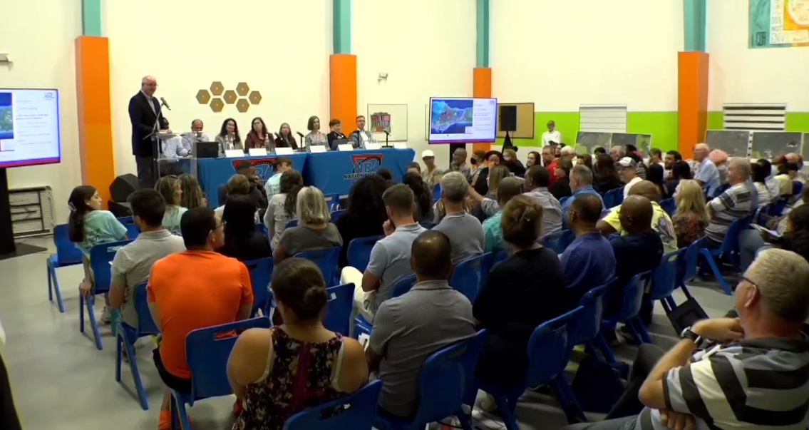
Following two public meetings last week, residents of the Cayman Islands now have until Monday, 20 Feb., to submit comments on the scope of the environmental impact assessment of the East-West Arterial Extension.
The National Conservation Council has directed that an environmental impact assessment is needed on the road extension. The 10-mile road is estimated to pass through 174 acres of Central Mangrove Wetlands.
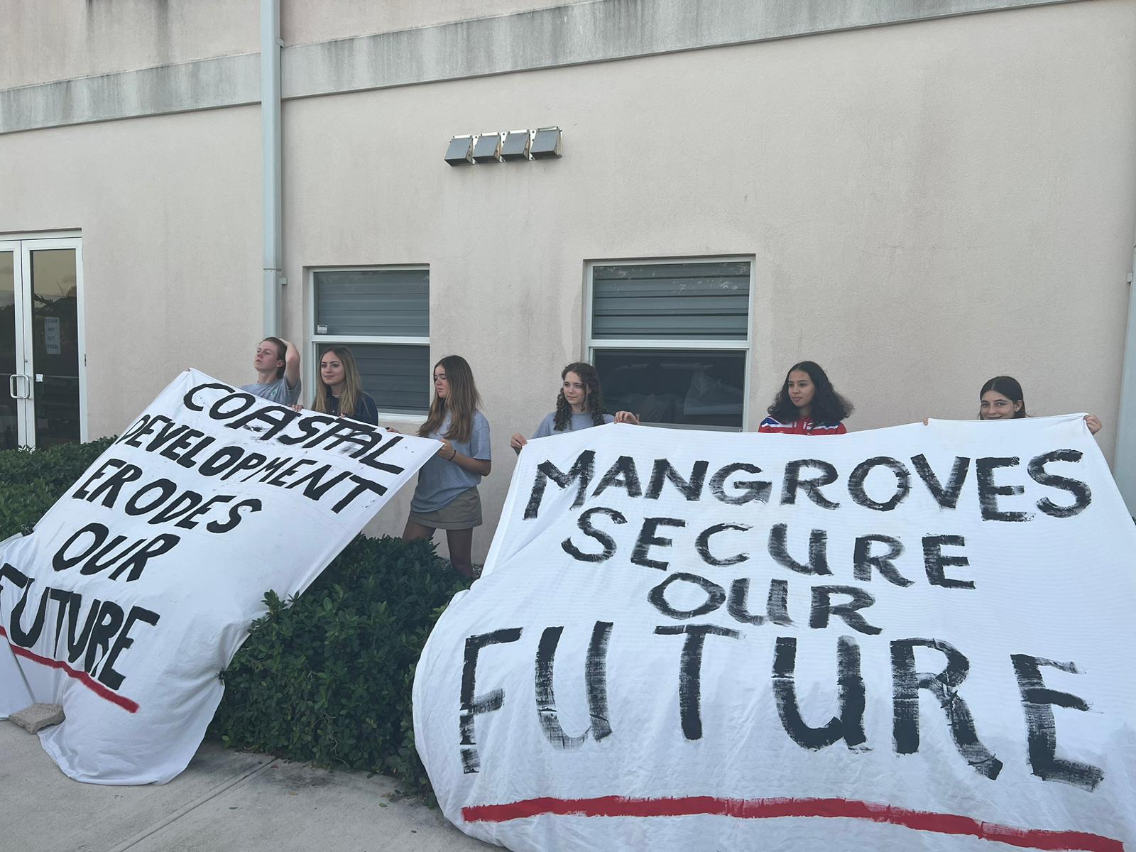
When the second meeting began last week, young protesters from Protect Our Future made their views known against the proposed road extension, hanging banners calling for the protection of mangroves on hedges in front of the meeting venue at the Cayman Islands Baptist Church hall on Pedro St James Road.
Cabinet has final say
A number of participants at the meeting, including Woody Da Costa and former East End legislator Arden McLean, asked if the EIA was necessary if the government had already decided that the road extension – which was gazetted in 2005 but never built – would go ahead regardless of the study’s findings.
Director of the Department of Environment Gina Ebanks-Petrie responded that, after receiving the final environmental statement, Cabinet could do so, if it decided “that there is some overriding public concern that is worth more”.
But she pointed out that the public would also have access to that environmental statement, which would be released in draft form during the consultation process and before a final decision by Cabinet is made.
McLean asked if the road extension was definitely going to be built or not, saying local environmental groups seemed to believe that their efforts and opposition to the project would be able to stop it from going ahead.
“Is the intent of the government to build the road? If it is not, we are going through a exercise in futility,” McLean asked.
Saying she could not speak on behalf of the government but was at the meeting to address the environmental impact assessment process, Ebanks-Petrie responded, “EIAs don’t make decisions. This document is not going to say build the road or not build the road. The document is going to outline out the potential impacts that could be associated with the road.
“It’s going to advise how those impacts are going to be avoided in the first place or mitigated if they can’t be avoided. And then the decision-makers will have the full information that they need in order to make their decision on the road,” Ebanks-Petrie said.
Da Costa asked the NRA and consultants from US-based Whitman, Requardt & Associates to take the inevitable rezoning of the land around the road, once it is built, into account when finalising the terms of reference of the EIA. He said it was likely the land would be rezoned as high density residential or general neighbourhood commercial. “That means more people, more influx,” he said.
He also urged that no land-swap deals be done with the owners of the nearby land, similar to the NRA Agreement on the Esterley Tibbetts Highway with Dart.
Attendee Sammy Jackson pointed out that the length of the EIA process meant it would be unlikely that the extension would be built during this PACT government administration’s current term of office, which ends in 2025.
“Any road is an ambitious project. This one has been planned for a very long time. And now we’re adding another element to it,” he said, referring to the EIA, which would not have been legally required when the road was first gazetted in 2005.
Jackson added that he hoped the socio-economic part of the EIA would include “some weighted consideration for the plight of those poor folks who spend most of their daily lives commuting to and from George Town to the eastern districts”.
Urging politicians to listen to the people, he said, “Mangrove trees don’t vote, but surely there are a lot of angry voters out there who wish to get to and from work in an efficient manner and not spend half their lives in their cars, dressing their kids for school, feeding them breakfast. We’ve heard so many complaints about that, and yet we’re here today, listening to what we believe is the advent of a very protracted and complicated process which will frustrate any forward progress.”
Future solutions
NRA Managing Director Edward Howard, in response to a question about introducing a rail system to Cayman, said long-term road corridor plans would make it possible for a light rail system or a rapid-transit bus system to be introduced, by dedicating outer or inner lanes to these systems.
“It’s not out of the realm of possibility,” he said. “All those things would have to be considered and costed.”
One of the major bottlenecks on the route from the eastern districts to George Town is the Grand Harbour roundabout. Howard, addressing suggestions that congestion at this pinch point could be alleviated by building an overpass at that roundabout, pointed out that during the construction period of such a project, the current congestion issue would get much worse.
At the earlier meeting, on Tuesday in North Side, Howard had confirmed that, while the Grand Harbour roundabout area was not part of the current EIA scope, the NRA was carrying out a “corridor study” that takes the potential impacts of an extended East-West Arterial into account.
The results of the study are expected to be released in the next couple of weeks, he said.
Population growth
Audience member Courtney Platt, noting the large population growth in Cayman in recent decades, queried how fixing today’s traffic jams would address future congestion problems if the population continues to grow.
“If we don’t have a ceiling plan for the population… we’re just going to be running into this mess every time we fix the current problem,” Platt said. “Five years from now, we’re back in the same situation.”
Howard agreed that population size was a major factor of traffic congestion, but said building roads was not the only solution.
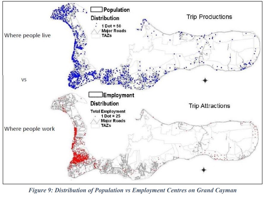
Noting that the majority of businesses and government offices are located in the George Town district, while the residential population in eastern districts continues to grow, he said consideration could be given to moving workplaces further east, negating the need for people to drive into George Town every morning and home to the eastern part of the island at night.
“We’re investing all this money into trying to solve the peak-hour period problem, which could be solved through proper land-use planning,” he said.
Wildlife corridor
Sustainable Cayman’s Melanie Carmichael, saying she was speaking in a personal capacity at the meeting, asked if the land on either side of the proposed road could be zoned as environmentally sensitive, enabling the creation of a wildlife corridor.
Senior environmental scientist Sara Gutekunst responded that during the coordination of mitigation efforts, “we will engage with the different entities that are involved with land ownership and land use, but preservation of land that is already there, that can act as conservation easement, that is an option that can be considered.”
The NRA’s Howard noted that in some parts of the world, roads were built through nature reserves, which led to them becoming wildlife corridors.
No plans for Ramsar site
The Central Mangrove Wetland has previously been named as a potential Ramsar site.
Ramsar sites are wetlands of international importance that have been designated under the criteria of the Ramsar Convention on Wetlands for containing representative, rare or unique wetland types or for their importance in conserving biological diversity.
Becoming a Ramsar site could offer another level of protection for the wetlands.
The DoE’s Ebanks-Petrie confirmed at Thursday evening’s meeting that there are currently no active plans to designate the Central Mangrove Wetlands as a Ramsar site.
How to add your voice
Members of the public have until Monday, 20 Feb., to submit comments on the draft terms of reference for the EIA, which will determine the scope of the assessment study.
Comments can be submitted by email to [email protected]; mailed to Department of Environment, P.O. Box 10202, Grand Cayman KY1-1002; or hand delivered, in writing, to Department of Environment, Environmental Centre, 580 North Sound Road, George Town, Grand Cayman.
Read the draft terms of reference for the environmental impact assessment of the East-West Arterial Extension here.
Related Videos


